
ArcGIS for Developers
Mapping solutions for developers
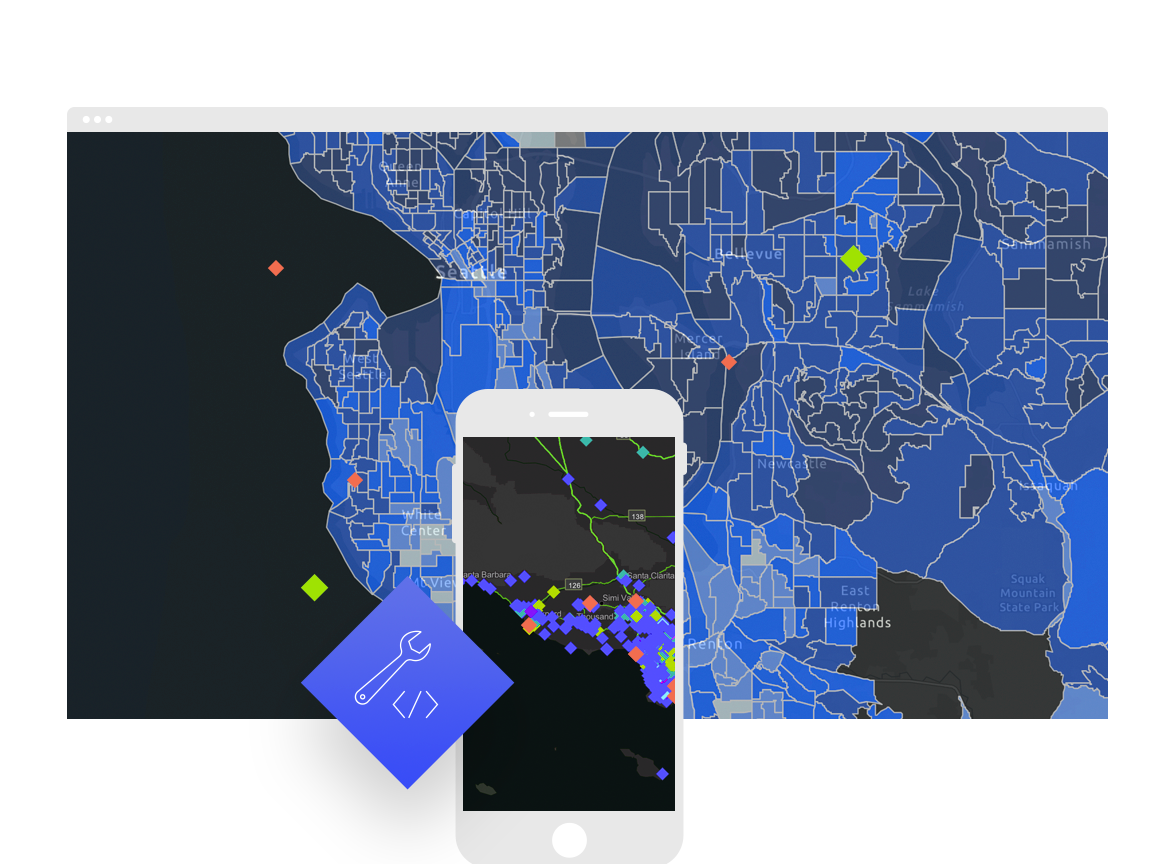
Build powerful mapping solutions
ArcGIS for Developers offers a full suite of tools and resources to build mapping and analytics solutions. Use ArcGIS APIs to create location-based applications for web, desktop, and mobile devices. Build, manage, and deploy apps using the right tools, when you need them—priced to fit your needs.
Explore ArcGIS features
- Maps
- Data visualization
- Geocoding
- Routing and directions
- Ready-to-use data
- Spatial analysis
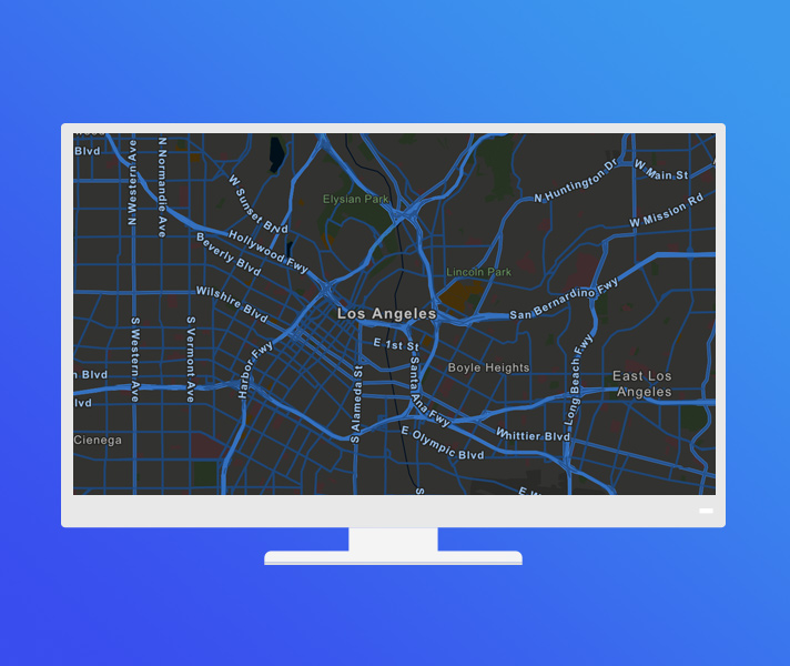
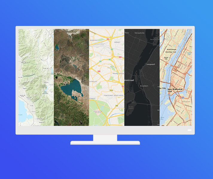
Maps
Access a collection of global geographic information from Esri, its partners, and open data providers. This includes:
- A wide variety of vector basemaps out of the box
- Additional OpenStreetMap-based vector basemaps
- Open data from a variety of organizations
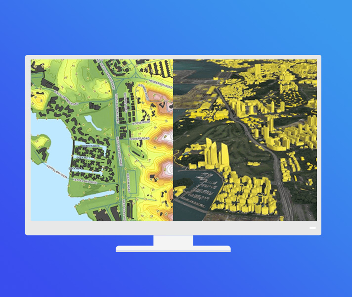
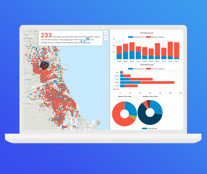
Data visualization
Create rich, interactive data visualizations in 2D or 3D while taking advantage of data-driven visualizations. ArcGIS offers best-in-class resolution and sophisticated symbology with these features:
- 2D and 3D capabilities in the same API
- GPU-accelerated rendering
- Rich pop-ups
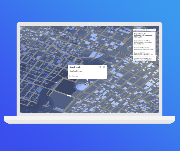
Geocoding
Geocoding is the first and most important step in making sense of location information. Find addresses, place-names, cities, and businesses and display their locations on a map with ArcGIS. Features include the following:
- Global coverage
- Geosearch, batch geocode, and reverse geocode
- Searchable locations—Search up to one million locations for free
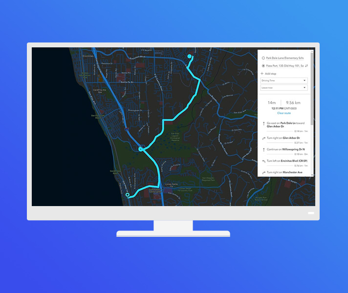
Routing and directions
Generate optimized routes and turn-by-turn directions using real-time traffic. With ArcGIS, you can do the following:
- Receive localized directions.
- Incorporate real-world restrictions and barriers.
- Route multiple vehicles.
Ready-to-use data
Get facts about the people, places, and businesses in a specific location. Query and display information from a large collection of authoritative datasets, including population, income, housing, consumer behavior, and the natural environment.
Enhance your data with:
- Global coverage
- Industry-leading authoritative content
You can also:
- Enrich your data with demographics
- Query thousands of variables
- Generate PDF reports
- Query thousands of variables
Spatial analysis
Gain insight into your data by understanding spatial relationships and patterns. Perform the following functions in ArcGIS:
- Identify patterns and make informed decisions
- Utilize a vast set of analytic tools
- Quickly and easily use the results in your apps
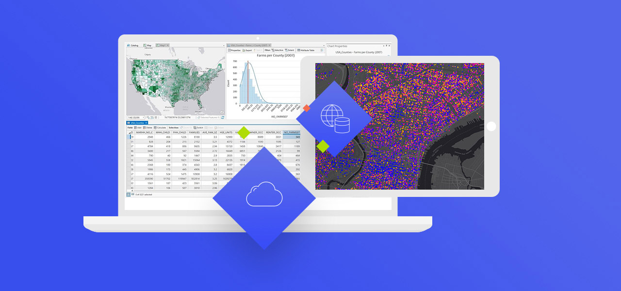
Data hosting
Store your data securely in the cloud or behind your firewall. Manage, query, and edit data with ArcGIS tools and your own applications. With ArcGIS, you can do the following:
- Manage data access and security
- Import, create, and manage spatial and nonspatial data
- Add your data to maps
Work offline
Build native applications for use when your device goes offline, and gain access to these features:
- Display maps
- Edit and sync data
- Search, geocode, and get routes and directions

ArcGIS tutorials
ArcGIS tutorials show you how to build mapping apps with ArcGIS APIs and SDKs.
Developer blog
Read the latest ArcGIS Blog posts for developers.
Developer community
Connect and collaborate with other ArcGIS developers online. Share ideas, content, and code in the GeoNet community.
Documentation
Learn about ArcGIS core concepts and ArcGIS APIs and SDKs, as well as scripting, automation, and extensions.