
Make Maps
Build interactive maps that explain your data
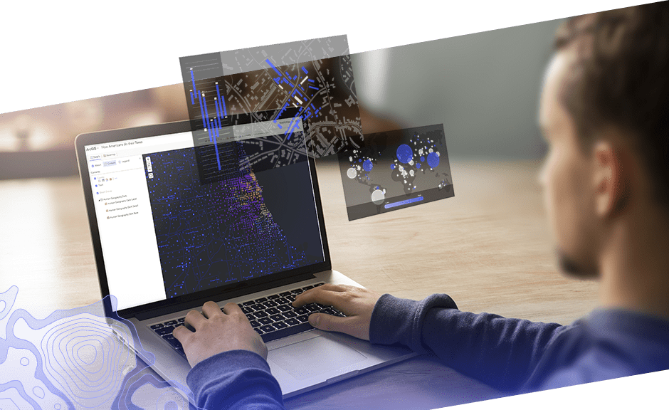
Build maps that encourage interaction
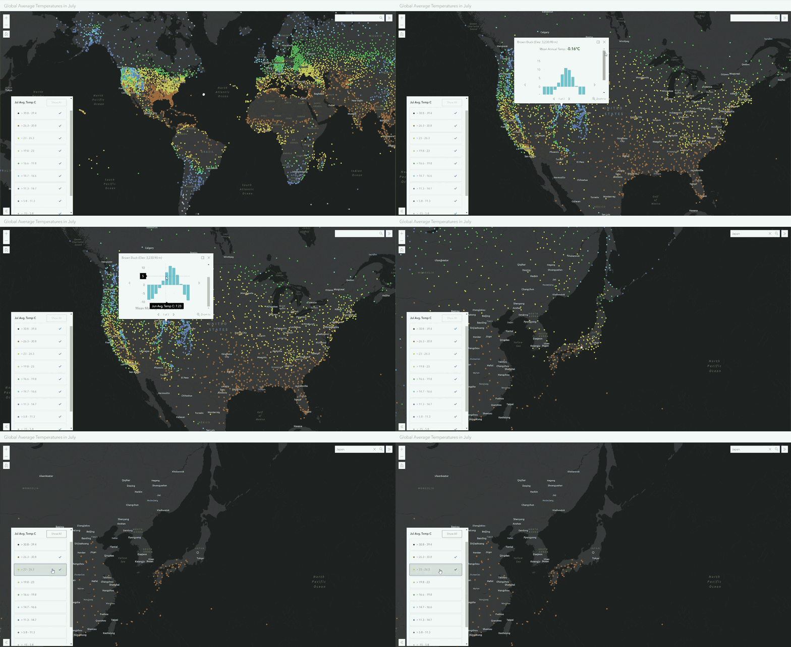
Interactive maps create immersive experiences that take maps from a static view to an opportunity for users to explore. Enhanced details and new perspectives spring from the map as you zoom in, search, and interact with the data.
There are many ways to explore interactive maps. Here are several options:
- Gain additional details as you zoom in
- Click on the map to see region-specific information in text, tables, and images
- Search the world's locations and your custom locations
- Get additional perspectives by filtering data and changing colors
Bring your own data
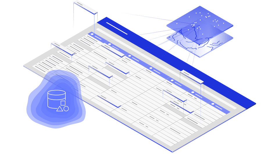
Data comes in a variety of formats and from many places. ArcGIS Online makes it simple to upload files and bring in content from the cloud. Many file types are supported, including spreadsheets, KML, GeoJSON, and common geospatial files. With ArcGIS Analytics for IoT, an add-on capability, you can connect to external sources of observational data such as IoT platforms, message brokers, and third-party APIs. When your data needs refining, ArcGIS Online includes tools to help you prepare your data for visualization and analysis.
Add context to your data
Seeing your data on a map is enlightening, and it also leads you to ask new questions. Add authoritative data to your map to gain perspective and find answers to your questions. ArcGIS Online includes the extensive collection of ready-to-use maps and data in ArcGIS Living Atlas of the World.
Build on high-quality basemaps
Place your data on a ready-made canvas. ArcGIS Online includes the broadest collection of current, historic, and creative basemaps. These high-quality basemaps, maintained by Esri, are built using authoritative commercial and community data. Give context and personality to your data using a variety of basemaps.
 Global, high-resolution imagery
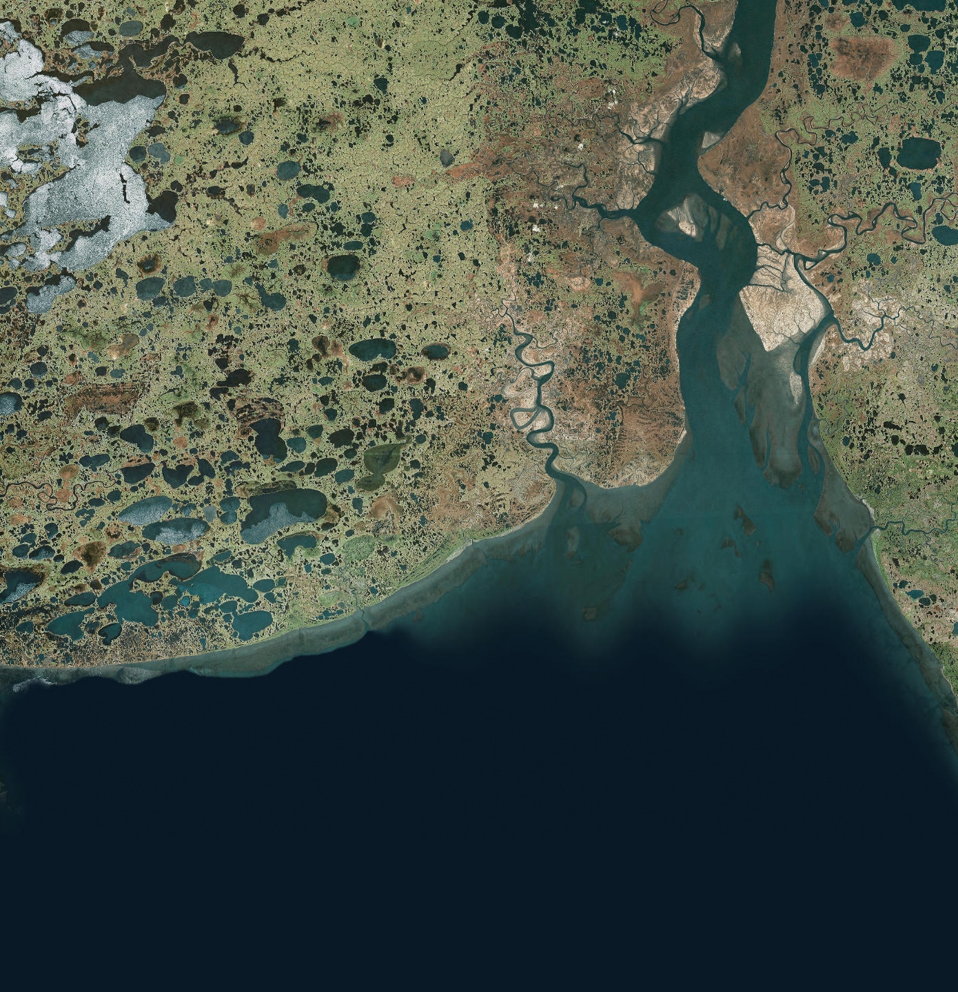
Gain a bird's-eye view using global imagery.
Explore imagery
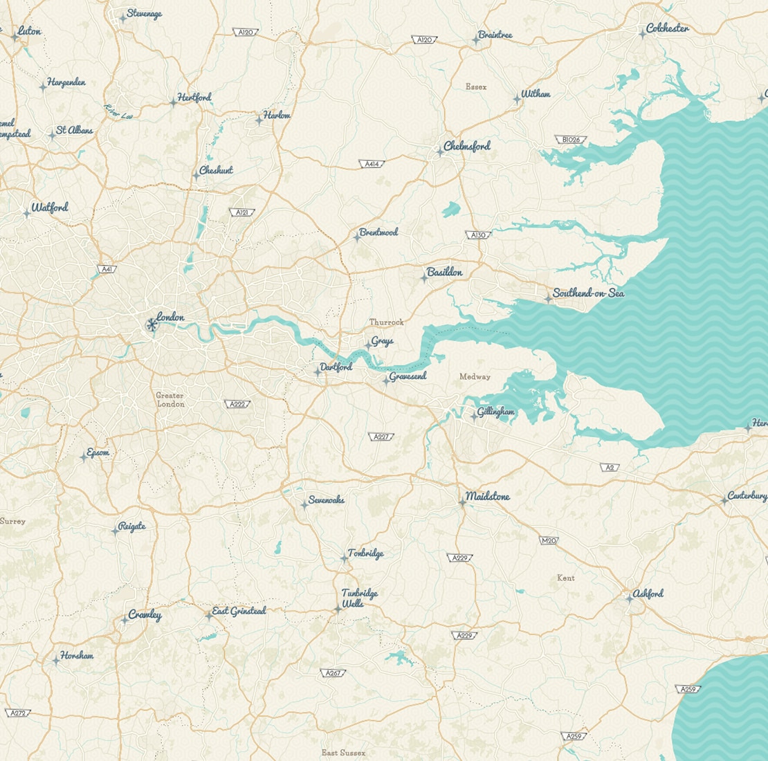 Customizable vector basemaps
Vector basemaps allow you to customize the style and match your brand.
Explore a vector basemap
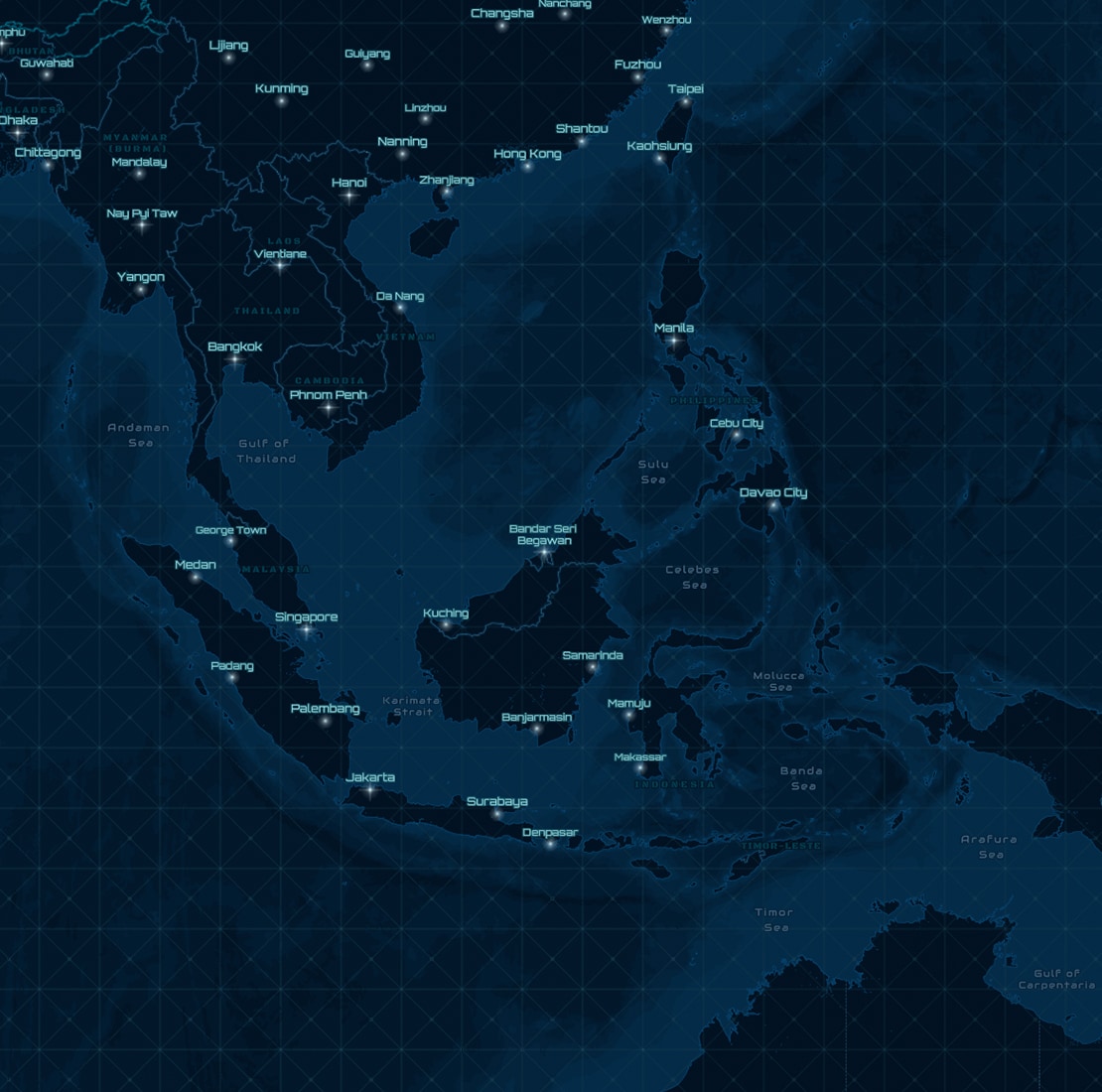 Creative basemaps
Create eye-catching maps using creative basemaps.
Explore creative basemapsUnderstand your data through visualization and exploration
Patterns and spatial relationships emerge when you visualize your data in a map. Smart mapping helps you turn raw data into information by guiding your exploration and visualization. Suggested colors, styles, and symbols help you find and emphasize the interesting aspects of your data's story.
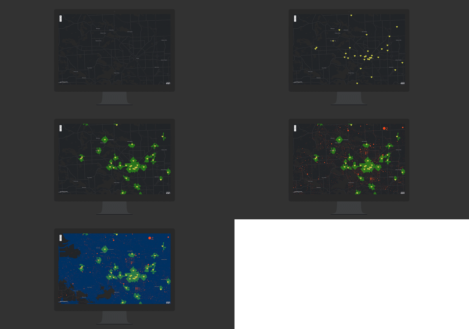
Use map styles to answer questions
Choose from a variety of advanced mapping styles. Each style provides a different view of your data.
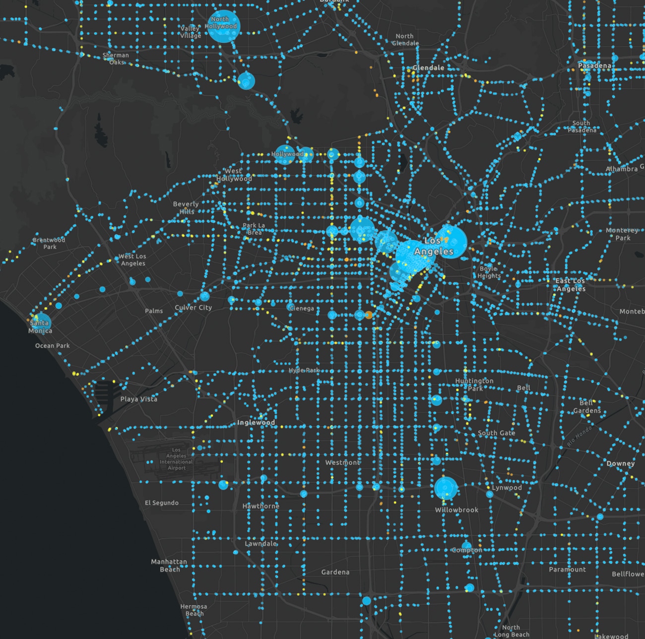 What does my data look like on a map?
Gain a spatial understanding by visualizing your data in a variety of ways.
Ways to present your data
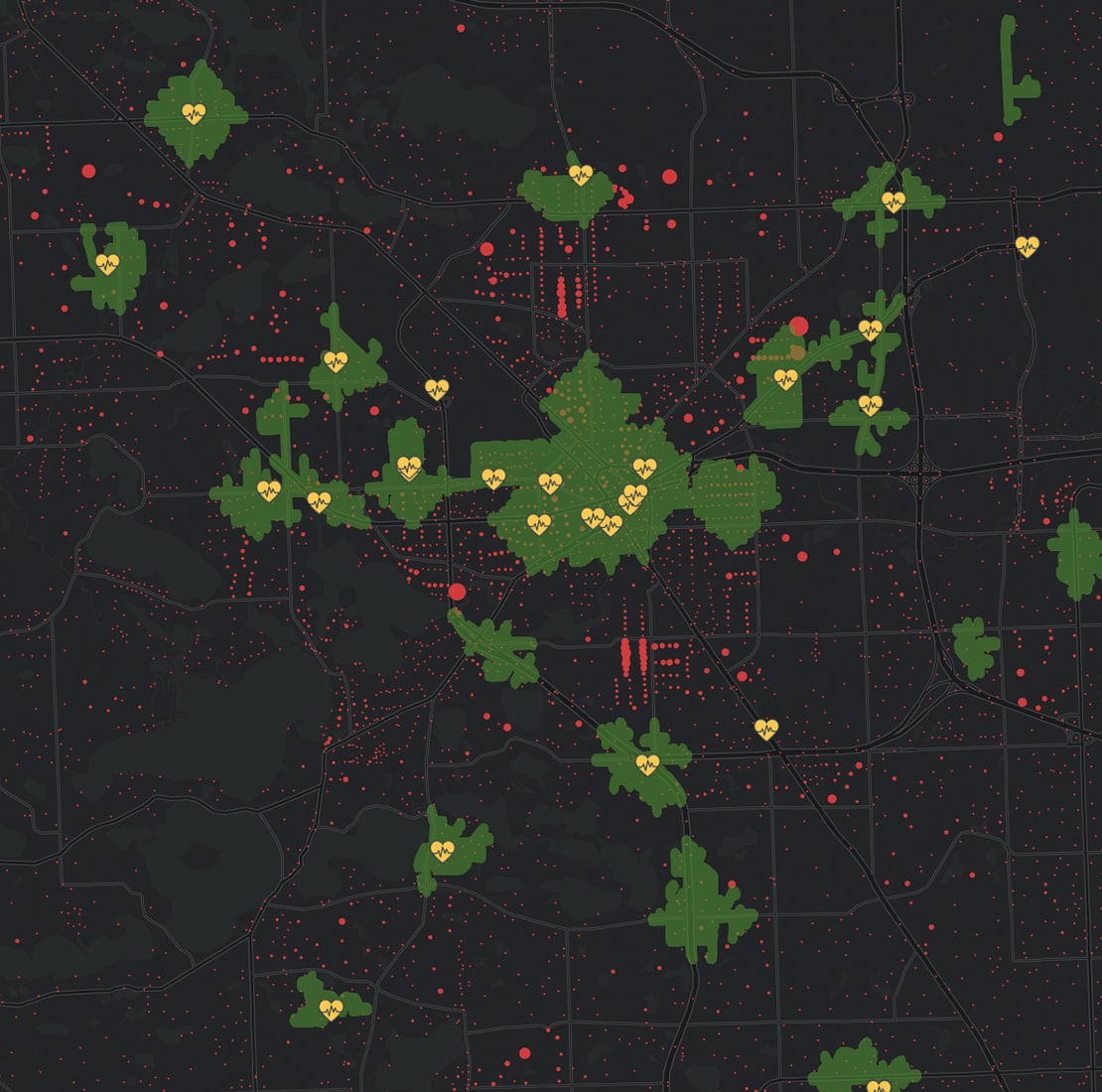 What is nearby?
Determine who and what is within walking or driving distance of your facility.
Learn how to make this map
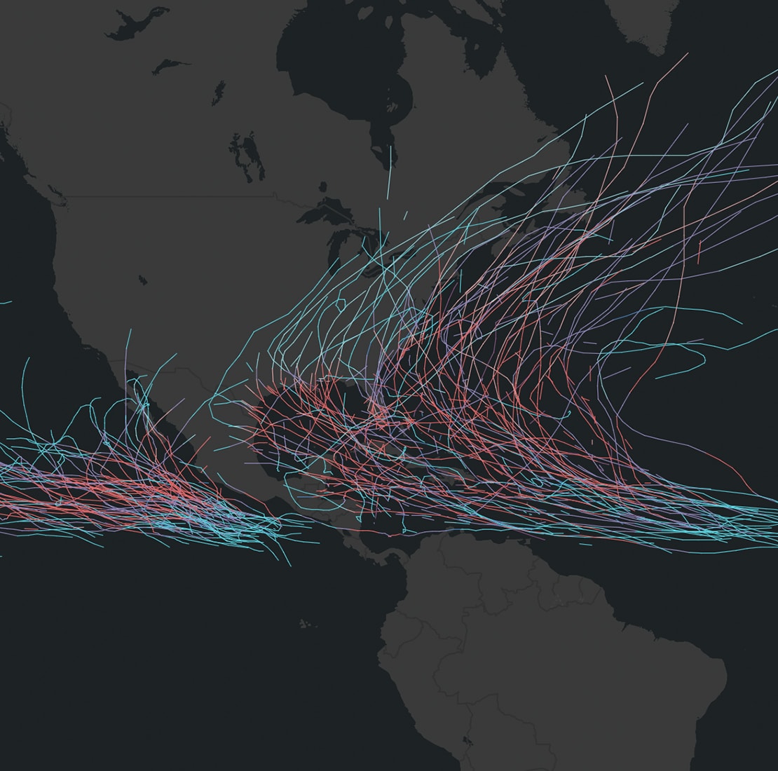 Are these things related?
Compare two attributes from your data by seeing both patterns within a single map.
Learn how to make this map
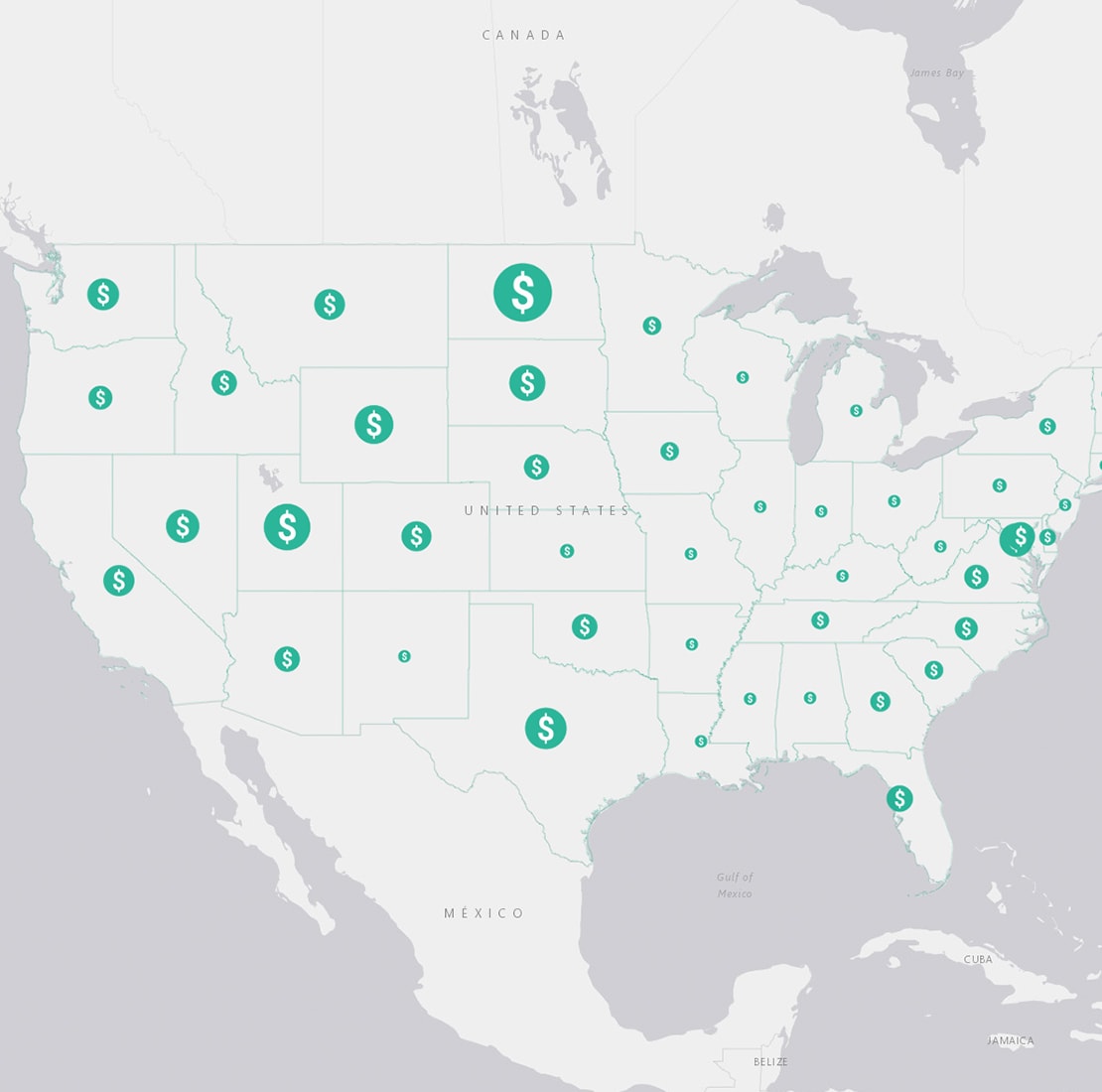 Where are things growing the most?
Everything grew, but how can you identify where it grew the most? Create a map using size and a custom symbol to show growth over time.
Learn how to make this map
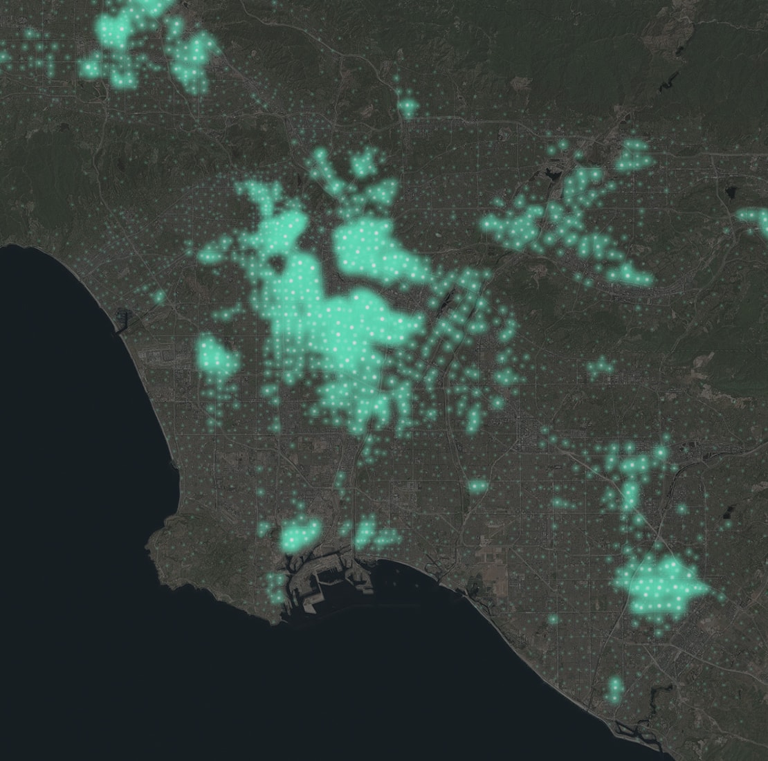 Where is this concentrated?
Discover areas of concentration by identifying where something is happening and comparing it against the total population.
Learn how to make this map
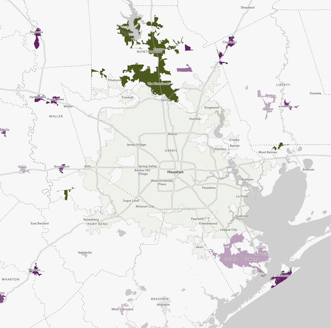 Which areas are above or below average?
Use a benchmark, such as an average, to define what is high, normal, or low for a given topic.
Learn how to make this map
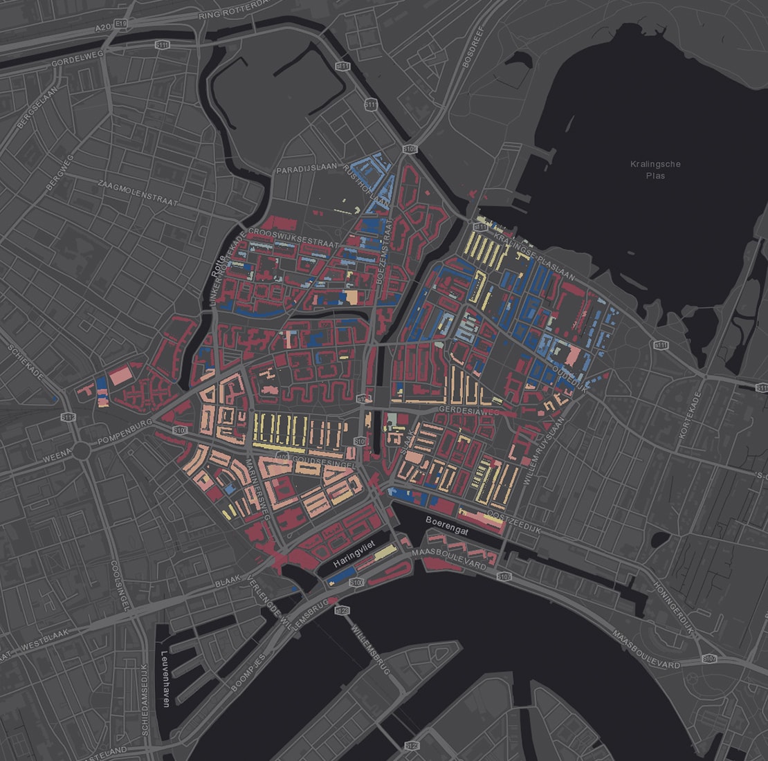 When did that happen?
Symbolize dates to locate the oldest and newest items in your data.
Learn how to make this mapDiscover more ArcGIS Online capabilities
Share & collaborate
Instantly share your maps with anyone, anywhere. Collaborate with your colleagues.
Analyze data
Intuitive analysis tools help you learn more about your data.
Work with your data
Bring your data into a powerful system that geoenables, hosts, and scales.
Ready to buy ArcGIS Online?
Have any questions?
Chat now
Begin a conversation online.
Send a message
Get an email response.
Give us a call
Talk over the phone.