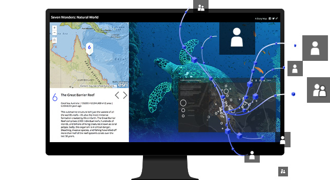
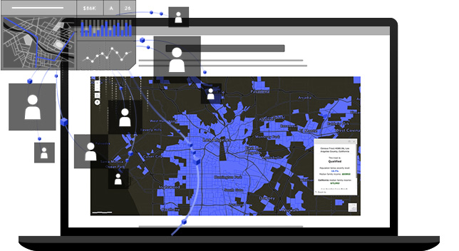
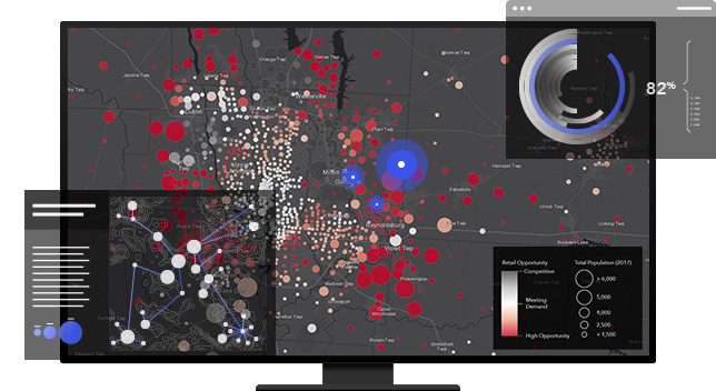
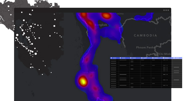
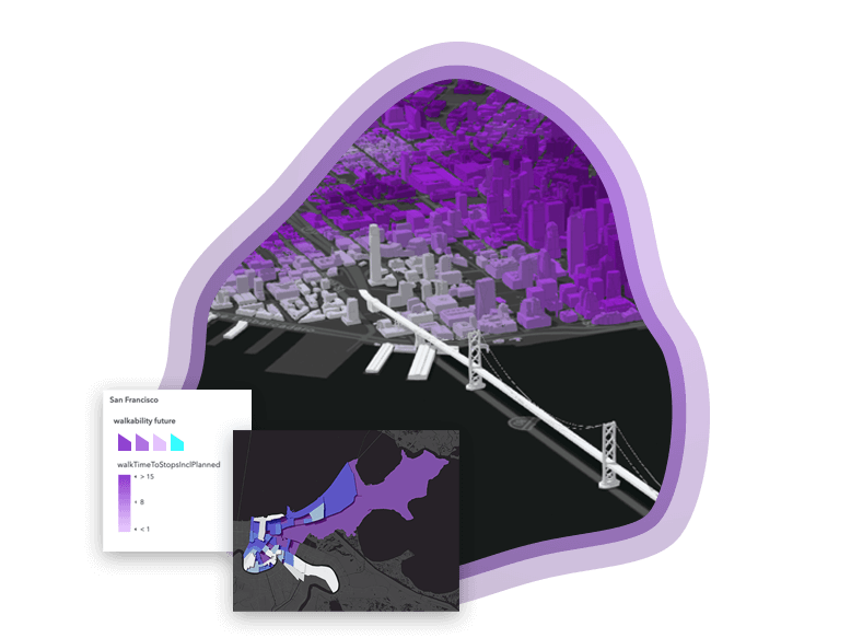
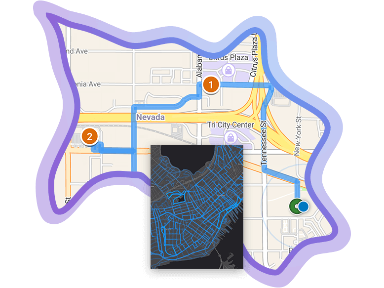
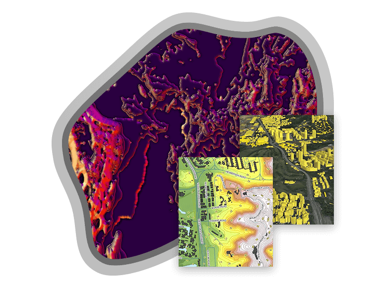
Skip to Content
ArcGIS Online

ArcGIS Online

Mapping and analysis: location intelligence for everyone

Part of the Esri Geospatial Cloud, ArcGIS Online enables you to connect people, locations, and data using interactive maps. Work with smart, data-driven styles and intuitive analysis tools that deliver location intelligence. Share your insights with the world or specific groups. 

What you can do with ArcGIS Online

Make maps

Build interactive maps that explain your data and encourage users to explore. Map your own data and gain perspective by adding the authoritative location-based data included in ArcGIS Online. Use smart mapping to guide your data exploration and visualization. 

Learn about making maps

Share maps and apps

Share your maps with specific groups or everyone. Create web apps with your maps for a focused, interactive experience. Then integrate the apps you built into your digital presence including your website, social media posts, and blog articles.

Learn more about sharing

Collaborate

Work effectively across your organization to build and use maps. Users receive secure, straightforward access to the data, maps, and apps they need to do their work. ArcGIS Online is enterprise ready, meaning it meets the security, authentication, privacy, and user management needs of large organizations.

Learn more about collaborating

Analyze data

Understand your data in the context of location by using intuitive analysis tools. Reveal relationships, identify prime locations, use optimal routes, and analyze patterns to make predictions. Add valuable context to your data by combining it with Esri's demographic and lifestyle data.

Learn more about analysis

Work with your data

Bring your data into a powerful system that geoenables, hosts, and scales. Update and add to your data without disrupting the maps and apps that use the data. Control who adds to, and modifies, your data.

Learn about working with data

Designed for your success

Previous
Next

Expand your work

ArcGIS Online is a complete mapping and analysis solution. You can use it on its own or expand your work using other ArcGIS products. The work you do can be shared and integrated across ArcGIS.

Previous
Next

Success story

City Planning

Kenton County, Kentucky uses ArcGIS Online for data visualization, storytelling, and collaboration with city officials, citizens, and business owners.

Read the story

Ready to buy ArcGIS Online?

Purchase