

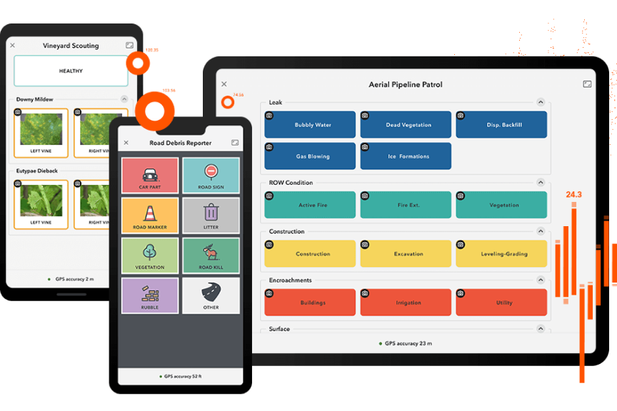

ArcGIS QuickCapture

ArcGIS QuickCapture

The app for rapid data collection


ArcGIS QuickCapture is the fastest way to collect field observations. With this simple app, you can quickly record field observations from a moving vehicle while you scout locations, conduct aerial surveys, or assess damage. Send data back to the office for analysis in real time and eliminate time spent manually processing handwritten notes. ArcGIS QuickCapture is integrated with ArcGIS, so new data from the field can be used instantly for better decision-making.


Capture data with the touch of a button

Previous
Next

Case Study

Access to Bike Trails Improves

ArcGIS QuickCapture was a perfect solution for us. It's affordable, easy to use, and I can have anybody with minimal training doing quality work on it.

Francis Tétrault

Mountain Biking Project Manager, Vélo Québec

Read the case study

Boost productivity, implement quickly

Previous
Next

Contact us for pricing and other information

Outside the United States