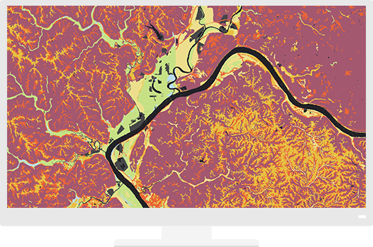
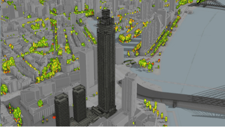
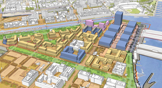
3D GIS supports smart urban planning & design
Gensler explored the capabilities of GIS technology to create plans, visualize scenarios, and support collaboration and decision-making.


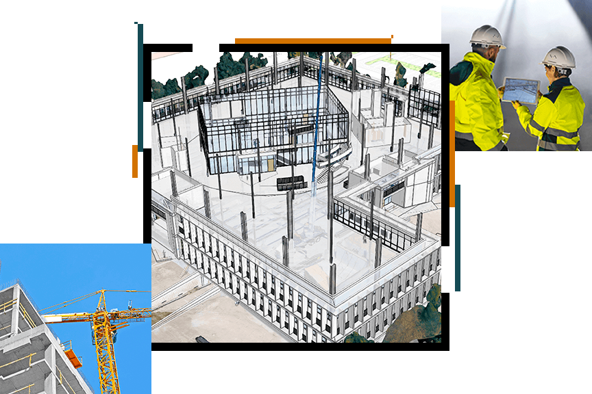
Location intelligence for AEC
"ArcGIS Enterprise gives us a great platform to enable everyone in the project to use and access the geography of the project"
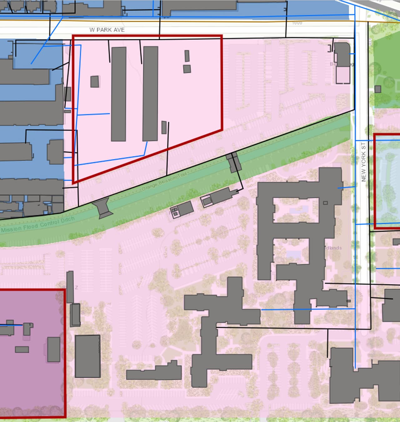
Location plays a critical role in architecture, engineering, and construction activities. Location-based workflows founded on GIS technology make your project easy to plan, design, build, and operate.
A Project Delivery subscription allows organizations to quickly deploy GIS projects to their clients, enabling collaboration and sharing of information directly and in real time with stakeholders.
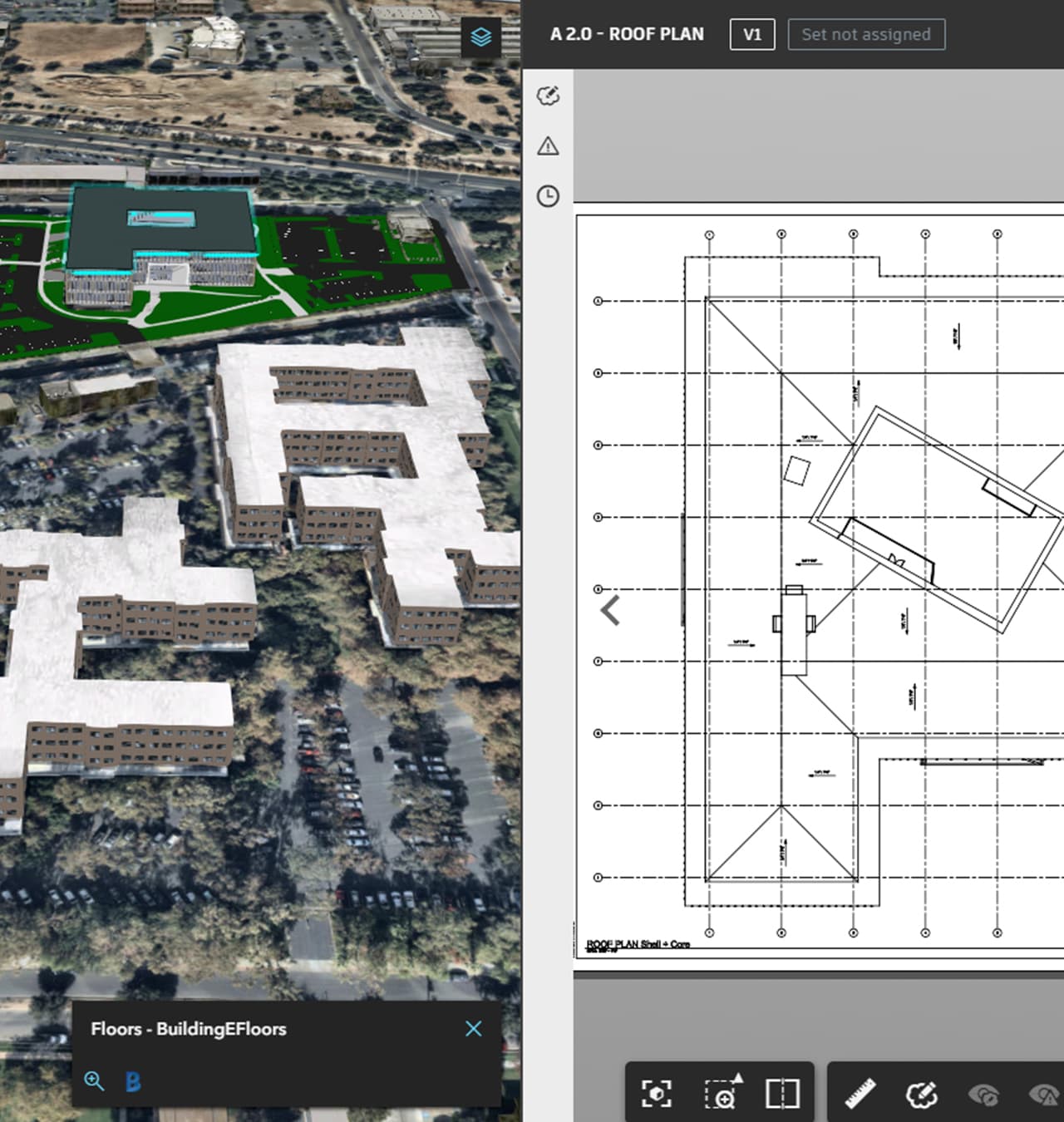
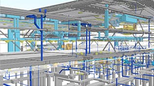
More on this subscriptionThe integration of GIS and BIM provides an environment where project professionals and stakeholders can collaborate across the entire life cycle, leading to a more predictable outcome.
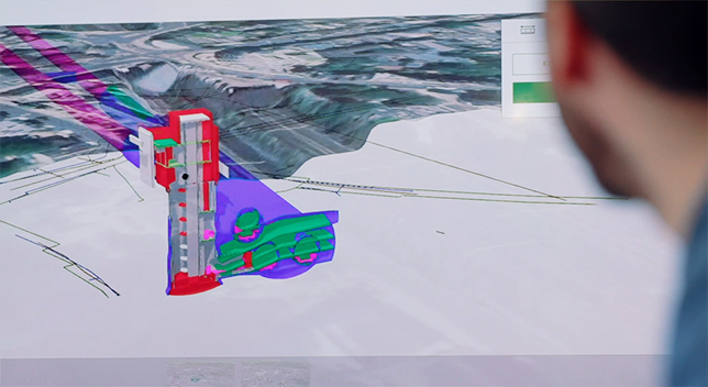
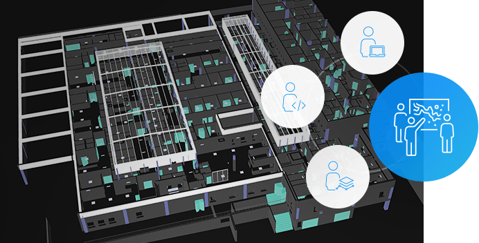
More on GIS and BIMA digital twin is a virtual representation of the real world including physical objects, processes, relationships, and behaviors. GIS creates digital twins of the natural and built environment and uniquely integrates many types of digital models.
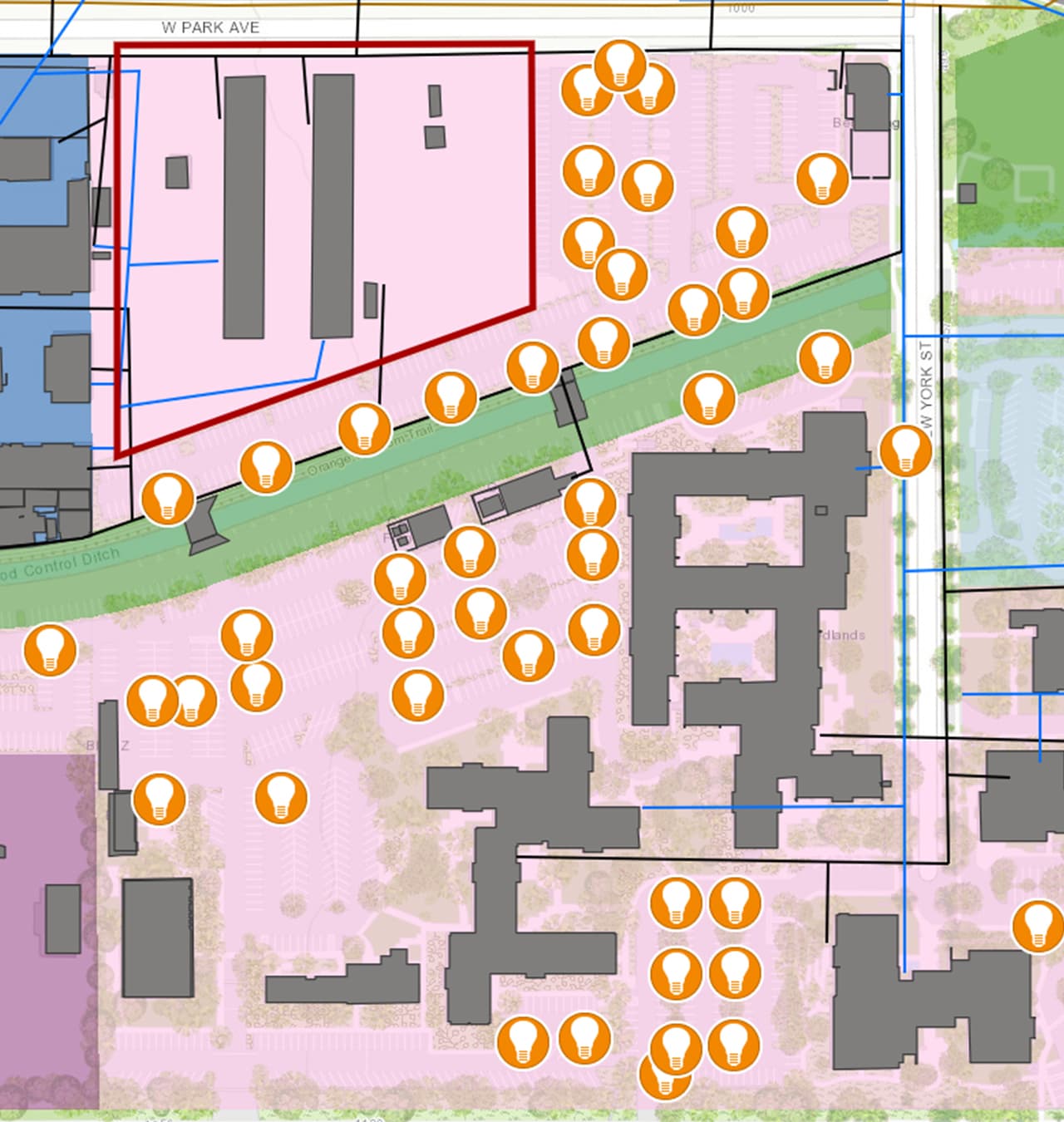
More on digital twinsEasily integrated collection and analysis of data on conditions throughout a project help to inform staff as they make critical decisions that will have an impact for years.
Explore Site Scan for ArcGISExplore resources for architecture, engineering, and construction organizations and connect with industry experts
Gensler explored the capabilities of GIS technology to create plans, visualize scenarios, and support collaboration and decision-making.
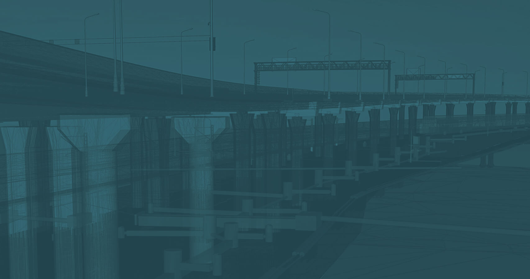
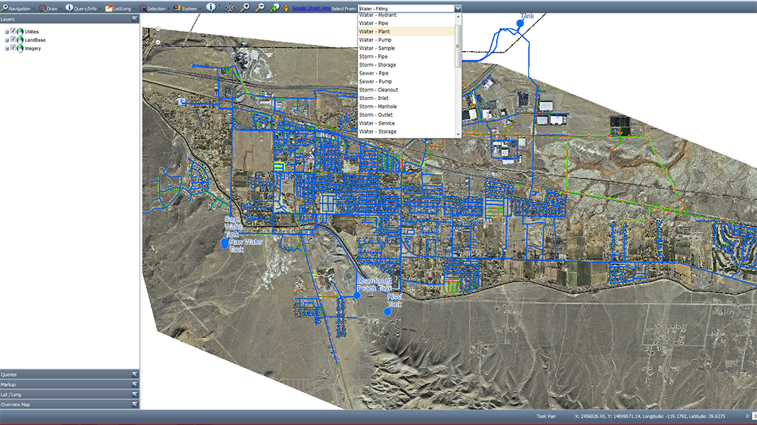
Leverage ArcGIS with ready-to-use maps to quickly deliver projects related to utilities and infrastructure. Analyze projects, deliver essential workflows, and share asset information with your stakeholders.
Analyze, design, and build solutions to improve the natural environment in a sustainable and responsible way by bringing geographic context into your projects.
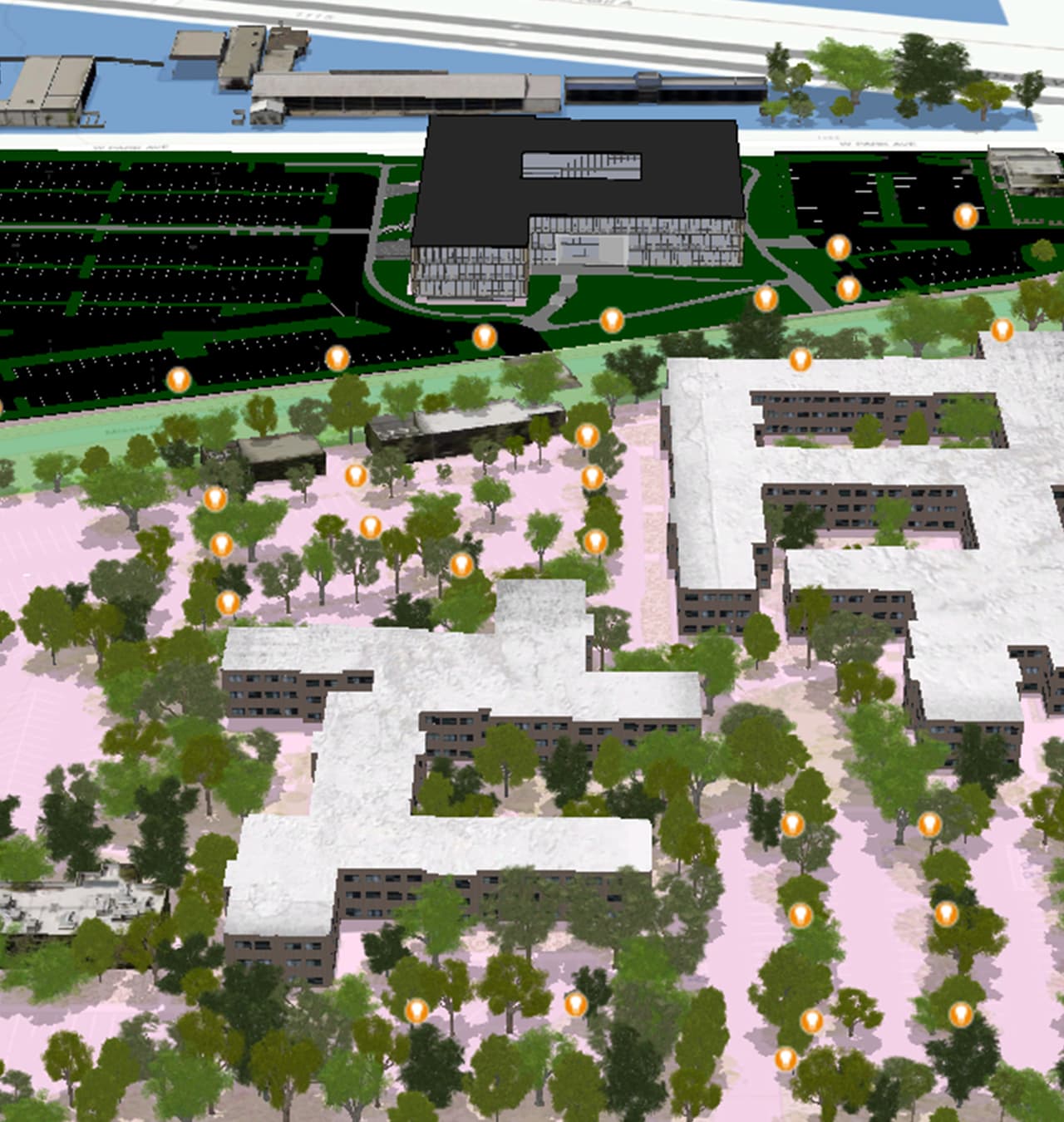
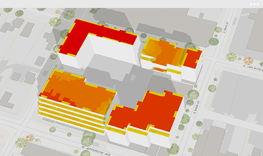
Create and use real-world visualizations and share in 3D to make better designs and present your work more effectively.
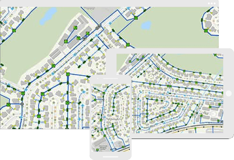
Improve your project site planning with ArcGIS. AEC firms can design with a geographic context, update field inventory and maintenance updates, and quickly share project updates with internal and external stakeholders.
Aiming for a net-zero future with “second skins”

Beyond construction: Geospatially enabled BIM
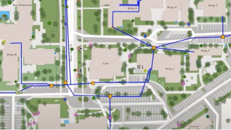
Mapping IT systems for operational awareness
Geolocating a digital model in ArcGIS Pro

Supporting communication and collaboration

Enhancing infrastructure and facility operations
Maintaining AEC business ops during the pandemic
Webinar | March 27, 2020 | 11:00 a.m. PDT
Engineering Firm Extends GIS to Clients
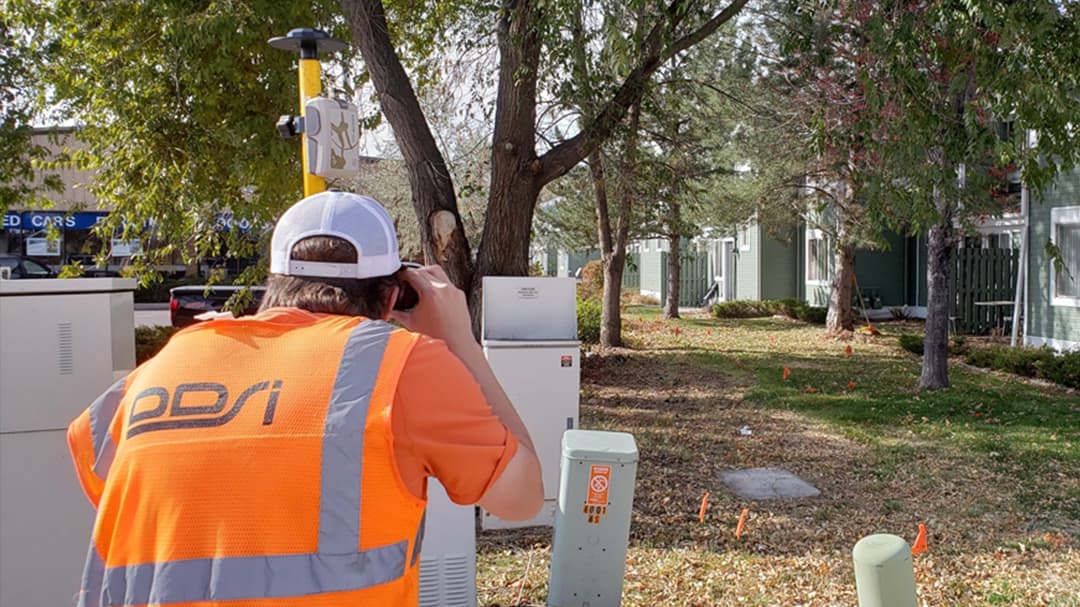
Capture Hard-to-Reach Assets with Better Accuracy
Webinar | February 13, 2020 | 10:00 a.m. PST
AEC Project Delivery Subscription
Quickly deploy GIS projects to your customers

Esri User Conference
July 13-17 | San Diego, CA
ArcGIS AEC Collections
A smarter way to design
Common Patterns for BIM and GIS Integration
Autodesk Strategic Alliance