Skip to Content

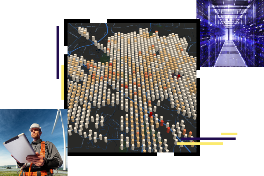
GIS for Electric Utilities

The electric utility industry is in motion. Electric utilities face changes in every area of their business. They work hard to adapt to and leverage digital technology. Yet they often face today's challenges with yesterday's methods. In the struggle to remain relevant and thrive, electric utilities look to advanced technologies; they look to ArcGIS for the latest in utility mapping and spatial analysis.

A complete GIS—More than making maps

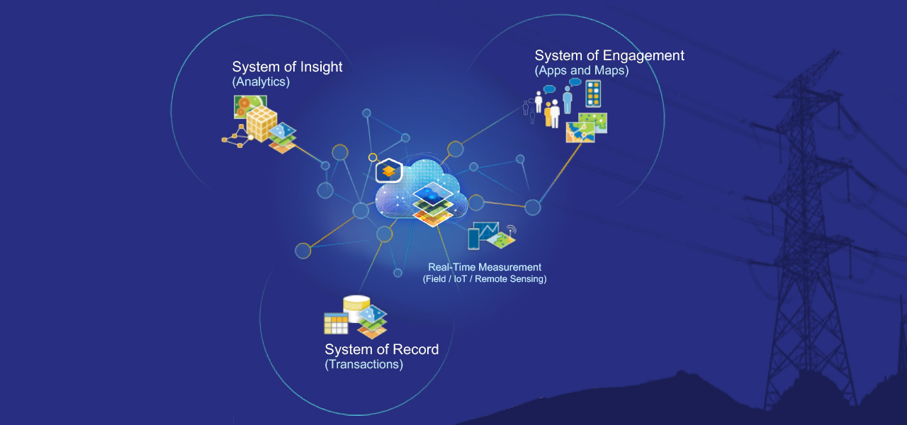
ArcGIS is a complete geographic information system (GIS). Complete means it contains all the elements needed to solve utility challenges, not just make conventional maps faster. It maintains key information, analyzing and distributing it to everyone that needs business intelligence through a system of record, system of engagement, and system of insights.

Download the e-book

Electric utilities business areas

Previous
Next
Back to Utilities

Our community

View news and resources

Contact sales