
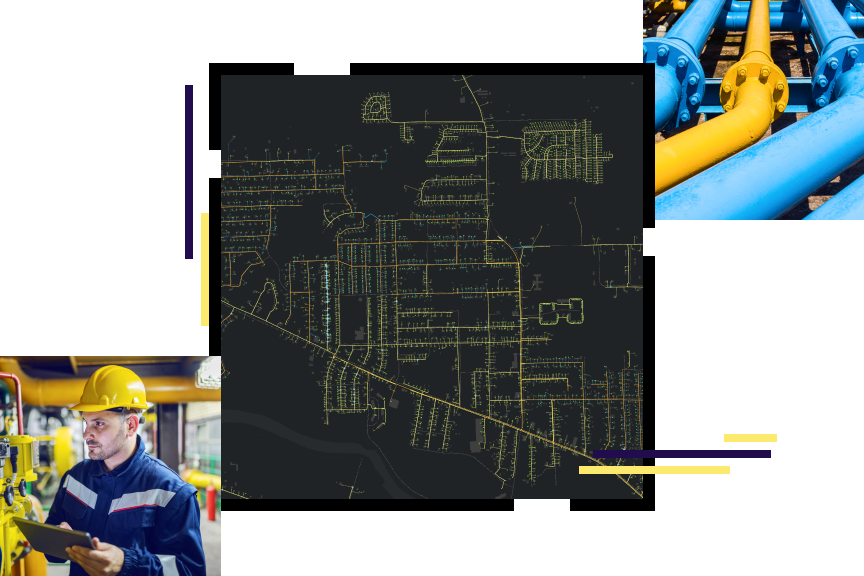
GIS for Gas Utilities
A complete GIS—more than utility mapping
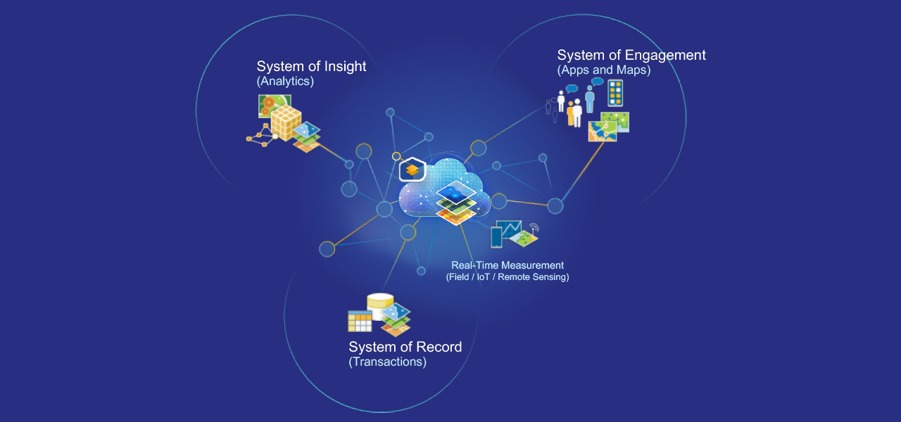
ArcGIS is a complete GIS for gas utilities. "Complete" means it contains all the elements needed to meet utility challenges, not just make conventional maps more quickly. It maintains key information for natural gas distribution mapping and analysis, and also simplifies sharing the analysis with everyone who needs business intelligence through a system of record, a system of engagement, and a system of insights.
Gas utility initiatives