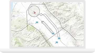
Military Tools for ArcGIS
Access a collection of mission-focused enhancements to simplify defense and intelligence workflows in ArcGIS.
Support any mission using the power of location. With the Esri platform, defense organizations create maps and information products that integrate intelligence information and inform robust decision making. Militaries worldwide use GIS to understand their total force and ensure operation readiness.
SUCCESS STORY
The US Army Corps of Engineers partnered with Esri to transform their ENFIRE digital toolset for engineering field planning into a lightweight, easy-to-use solution. Doing so cut maintenance costs while adding military engineering functionality.
Notify me when there is a new event
Esri partners offer specialized solutions built on ArcGIS to solve your real-world challenges.