Collect
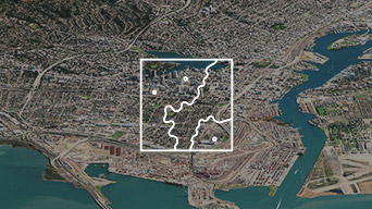
Integrate data from many sources into a single platform.
Communities require authoritative information to make timely decisions. National mapping and charting organizations must deliver this information to help people unlock the value of data for decision-making. Modernizing their workflows enables them to do this more efficiently and effectively.
SUCCESS STORY
Dutch Kadaster used modern GIS technology to automate topographic data workflows, maintain their data, and create maps for the entire Netherlands. Maps that took a staff of 28 five years to create could now be produced by a single person in three weeks.
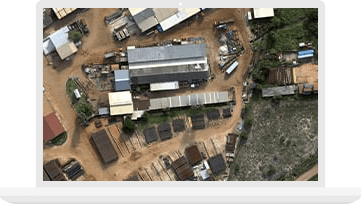
Apply innovative image processing capabilities―in minutes, not days― to remote sensing, 2D, and 3D mapping.
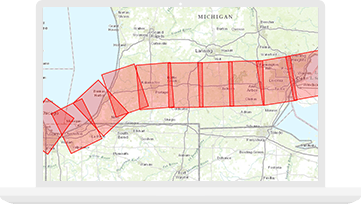
Improve the quality and value of your geospatial output using modern, efficient production workflows.

Open data provides a quick way to set up public-facing websites where people can easily find and download public data in a variety of open formats.

Modernizing National Government

Smart communities
ArcGIS image platform