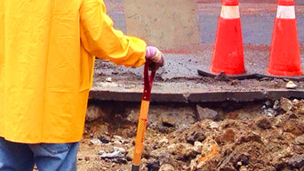
Maintain infrastructure
Track the conditions of roads and bridges to maintain progress and share results.
GIS links public works, staff, and citizens together. Coordinate work in the field, plan operations, and prepare for problems in advance. Whether you’re routing fleets, maintaining critical infrastructure, or creating budget reports, GIS helps you efficiently and transparently manage infrastructure.
SUCCESS STORY
The Memphis Public Works department receives roughly 400 requests a day to address everything from potholes to skipped trash pickups. To coordinate resources, the Memphis empowered its entire chain of command with GIS for better access to information.
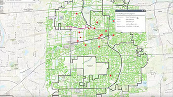
A collection of solutions used to define capital projects, coordinate project schedules, track project performance, and share project status with key stakeholders and the public.

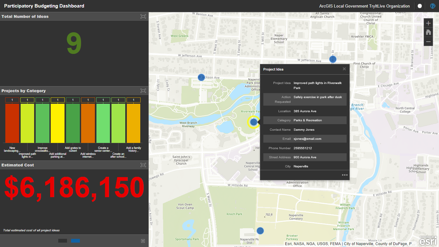
A collection of solutions used to locate parks, obtain information about public works services, and submit requests for service.
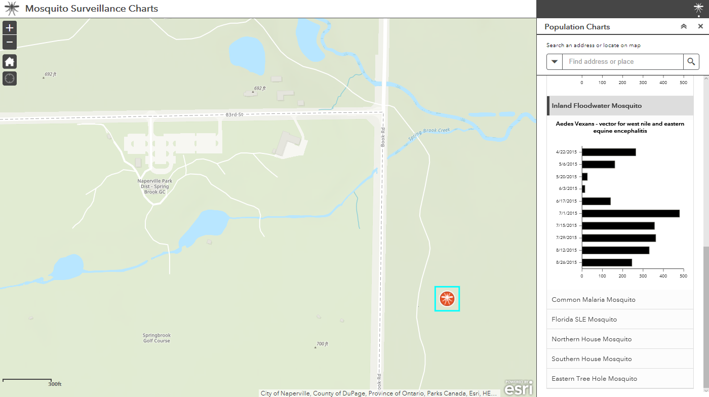
A collection of solutions used to manage mosquito populations and the spread of vector-borne diseases.
Esri offers prepackaged GIS software and service bundles that modernize public works departments. Locate leading solutions with ArcGIS, the world's most powerful mapping and analytics software.

Snow solutions
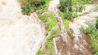
Flood defense

Solutions for surveillance and control

ArcGIS Hub
Notify me when there is a new event
Esri partners offer specialized solutions built on ArcGIS to solve your real-world challenges.