Skip to Content

Insurance

Gain hyperlocal risk insights

A density map in black and red, overlaid with a photo of an airtanker dropping fire retardant on a wildfire and a photo of the wreckage of a fire-damaged home

A GIS platform for advanced mapping and analytics

As the frequency and severity of natural disasters grow exponentially, insurance companies adapt by reducing liabilities in their portfolio. Insurers with resilient geospatial strategies use geographic information system (GIS) technology to analyze, identify, and map new opportunities and hazards with precision.

Previous
Next

Sustainable ways to thrive amid volatility

Catastrophic events are increasingly common and costly, pressuring insurance companies to proactively identify and manage risks before they emerge. For over 30 years, Esri has empowered the world's largest insurance companies with powerful analytical tools to guide more sustainable strategies. Discover how location intelligence transforms the life cycle of insurance products to actionable insights from scalable portfolio management, real-time threat monitoring, and upgraded workflows.

Read the ebook
Photo of earth-toned stucco houses along a street flooded with water, surrounded by green palm trees whipped by severe wind

Esri is monitoring global activity of coronavirus disease 2019 (COVID-19) and providing resources for response.

View COVID-19 information

Responding to disasters in hours, not days

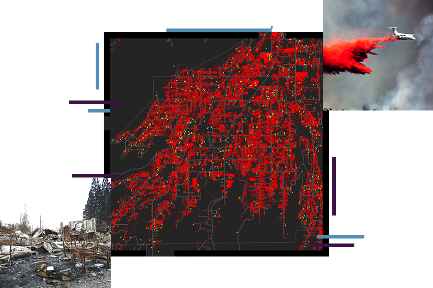
When disasters strike, and losses occur, insurance companies understand that there’s nothing more important to their customers than recovering from losses. In these crucial moments, families rely on their insurers to respond as quickly and efficiently as possible. The challenge is identifying, and prioritizing response efforts. Discover an innovative approach to disaster response and claims management that was forged during the costliest storms in recent years. Using Esri technology as a foundation, the National Insurance Crime Bureau (NICB) and Vexcel Imaging teamed up to provide the deploy one of the largest imagery collection applications in recent years.

Make the most of every location


Location influences every decision in insurance risk assessment. From underwriting decisions and that first policy quote, to catastrophe (CAT) response and claims, successful insurance companies leverage location intelligence to go beyond static figures and spreadsheets, and derive actionable insights for decision making. Discover how location intelligence can transform your enterprise. 

Strengthen all aspects of the insurance business.

Empower everyone to use smart maps and spatial analysis in ArcGIS software to understand opportunities and risks.

Previous
Next

Find out how Esri can help your organization.

Get started