Exploration
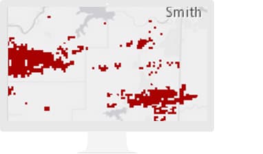
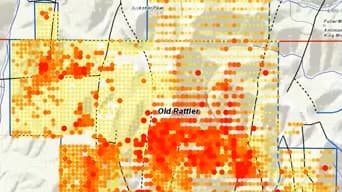
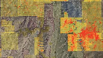
Analyze mineral exploration and sample drilling in a spatial context to identify and qualify new opportunities.
From mineral exploration to mine remediation, Esri ArcGIS software supports decision-making throughout the entire mining life cycle. Everyone in your company can access data and smart maps for project planning, mine operations, transportation management, and risk analysis.
SUCCESS STORY
The New Mexico Energy, Minerals and Natural Resources Department's Mining and Minerals Division uses GIS to process operations and exploration permit applications, report economic impacts, track mining activity, and enforce reclamation regulations.
Ready-to-use maps give more context to exploration and production workflows.
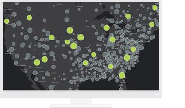
Use real-time mapping and spatial analysis to provide situational awareness for dynamically changing assets.
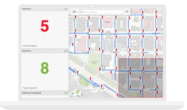
Improve operational efficiencies in field workforce activities.
Notify me when there is a new event.
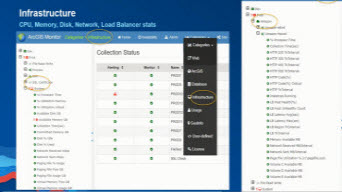
ArcGIS Enterprise Architecture
Esri Mining Webinar

Streamlining Image Management
Esri Mining Webinar
Implementing Workflows in ArcGIS Pro - Part 1
Esri Mining Webinar
Implementing Workflows in ArcGIS Pro - Part 2
Esri Mining Webinar
Esri partners offer specialized solutions built on ArcGIS to solve your real-world challenges.