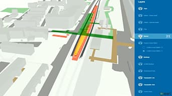
Planning
Bring all your information together to design optimal routes and improve performance.
Plan routes that maximize the value of your resources and best serve customers.
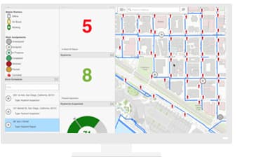
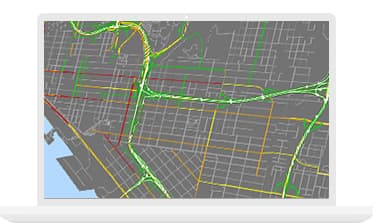
Know—in real time—where your assets and crews are. Apps for data collection, report generation, and workflow management give you a full view.
Filter big data feeds from unlimited inputs before pushing meaningful alerts to your mobile device or in-box.
Esri parters offer specialized solutions built on ArcGIS to solve your real-world challenges.