Roads and Highways
Departments of transportation need cost-effective tools to manage assets, human resources, and office and field operations. Use GIS to plan, monitor, and manage infrastructure more effectively. Determine capacity enhancements, improve operations, and identify the most strategic investments.
SUCCESS STORY
Barbara Cohn, Colorado Department of Transportation
Colorado Department of Transportation (CDOT) leverages Esri's ArcGIS platform to elevate the organization's digital transformation. Using location intelligence to manage critical assets and analyze real-time data for operational excellence. See how CDOT uses data to feed organizational and public decision making.
Previous
Next
Specialized apps
-
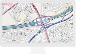
Esri Roads and Highways
Gain a comprehensive view of your roads. This linear referencing system (LRS) solution enables departments of transportation to integrate data from multiple LRS networks.
-
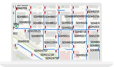
Apps for the Field
Know—in real time—where your assets and crews are. Apps for data collection, report generation, and workflow management give you a full view.
-
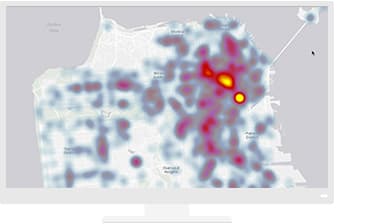
Insights for ArcGIS
Explore and analyze data, and support data-driven decisions with powerful spatial analytics.
Previous
Next
Resources
VIDEOS


SUCCESS STORIES
- Maryland DOT Moves Forward with Design-Driven Maps
- Wyoming DoT's Interactive Map Helps Plan Safe Trips
- New Zealand Transportation Agency Models Curve Risks on Rural Roads to Save Lives
- Helping Drivers Avoid Construction Zone Headaches
- Atlanta Responds to Bridge Collapse with Real-Time Traffic Map
- Real-Time Transportation Solution Keeps Traffic Moving
- GIS Saves Years of Work and Millions of Dollars in Utah
WHITE PAPERS
Upcoming events
Previous
Next
Partners
Esri parters offer specialized solutions built on ArcGIS to solve your real-world challenges.
Previous
Next