Sustainable development
Esri helps organizations across the globe harness the power of location to design more resilient communities.

Science-rooted support starts here
Location intelligence and spatial analytics help you make any area thrive
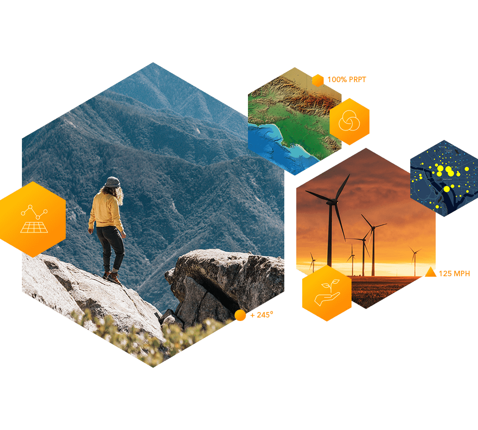
Applying the Science of Where to sustainability projects and missions enables you to do the following:
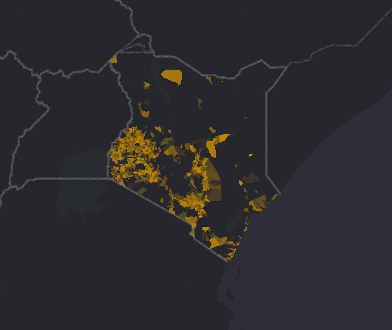 Understand need
Display where development or humanitarian assistance is needed in your area of operations.
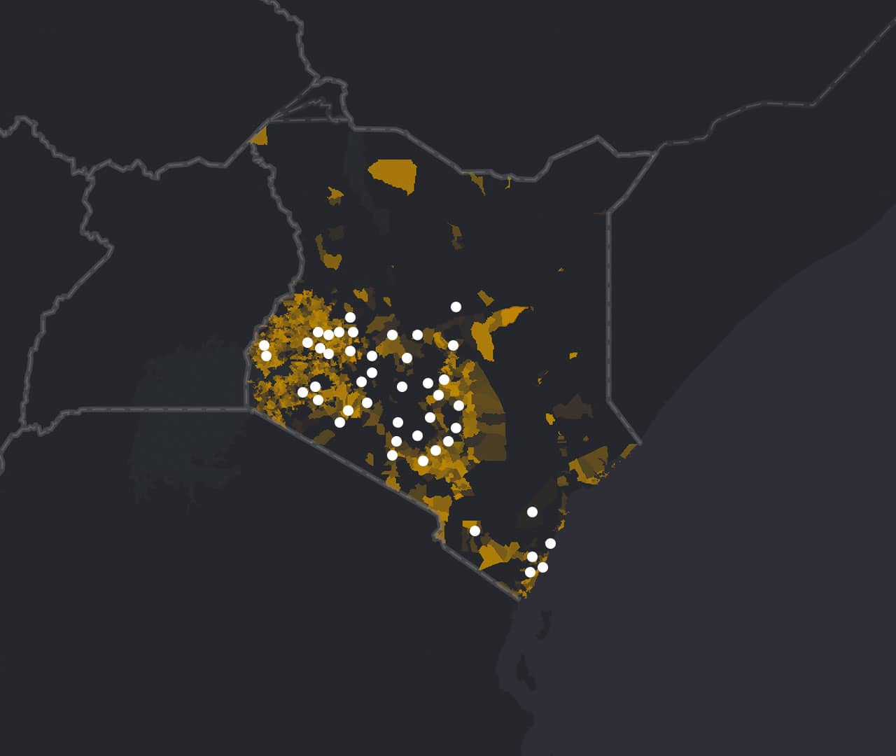 Map your work
Express your plans and visualize the work you’ve accomplished contextually with maps.
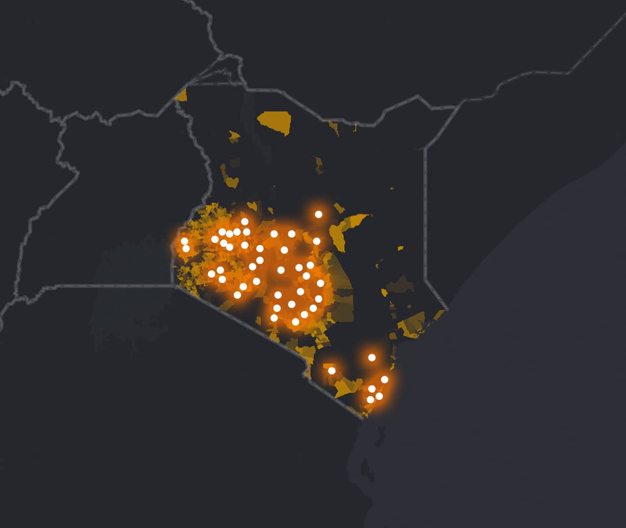 Measure impact
Integrate mobile data collection tools that are easy to use, connect to the cloud, and help you assess the impact of development and other factors faster.
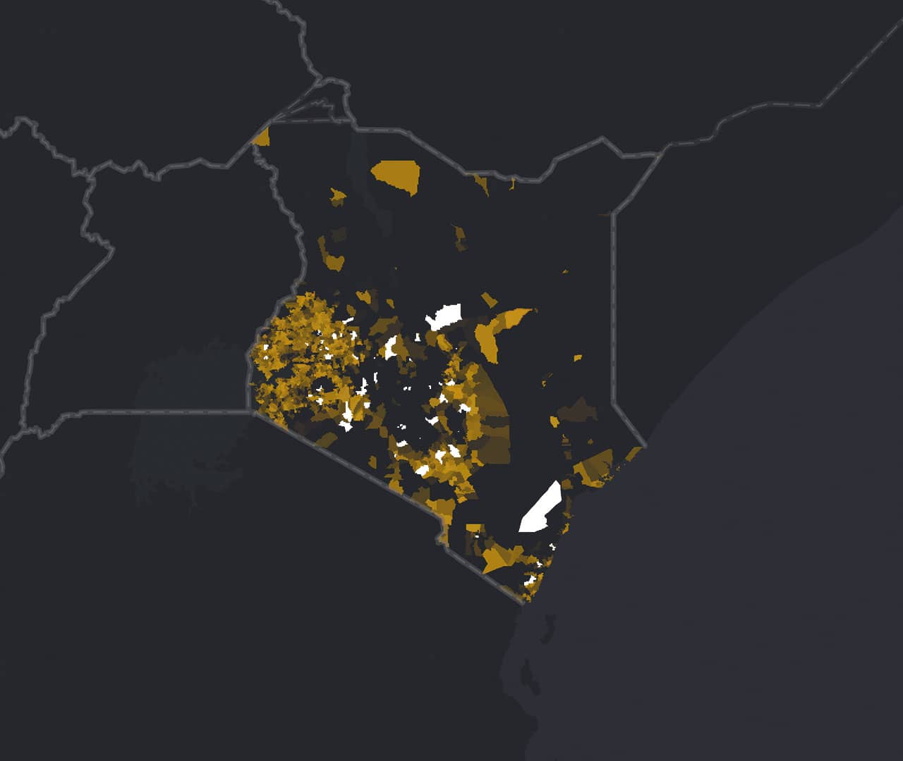 Analyze performance
Evaluate the effectiveness of activities and investments with sophisticated analytics.
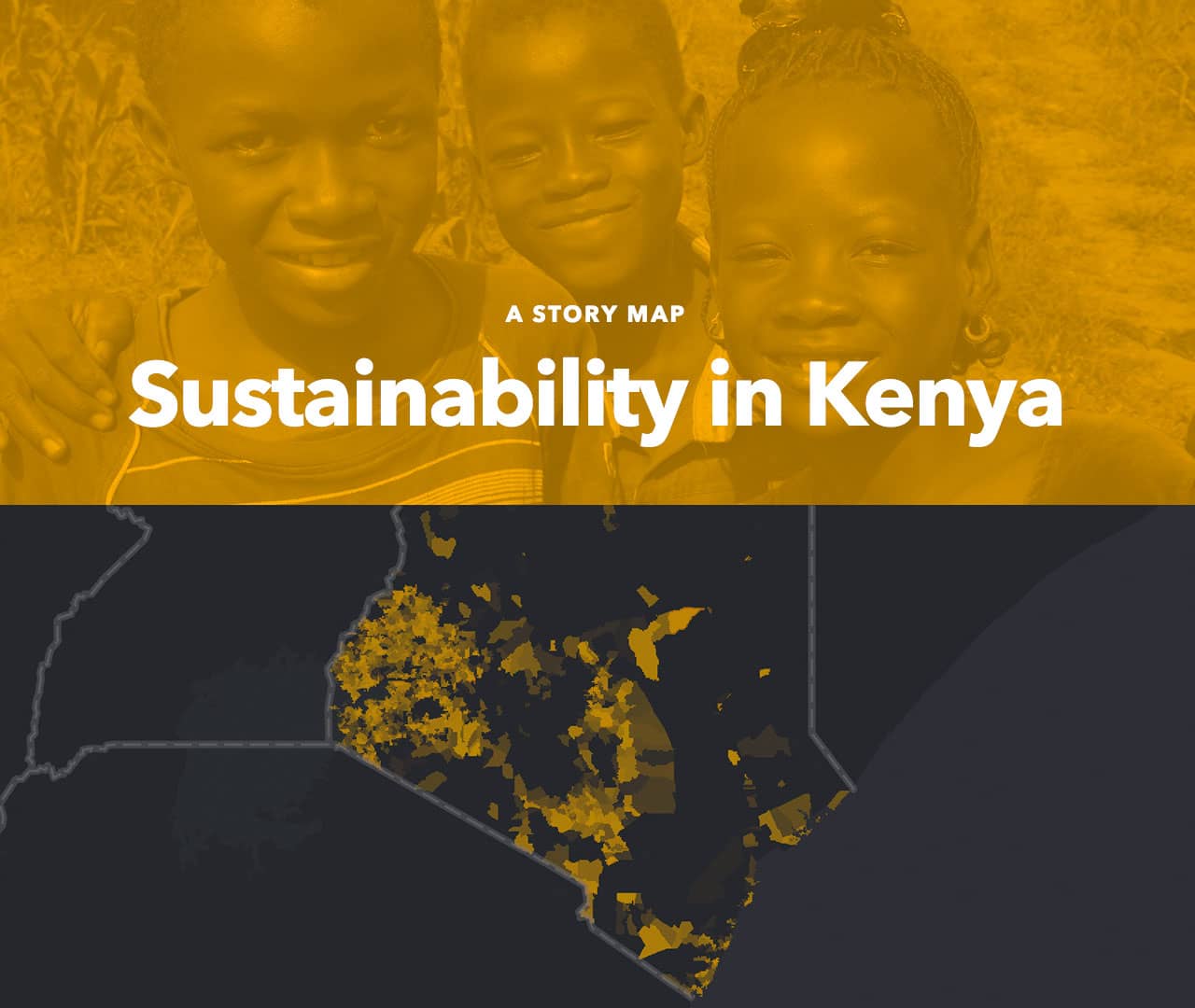 Engage stakeholders
Use interactive presentation and reporting tools as a “system of engagement” to demonstrate work accomplished.
Esri is committed to supplying geospatial tools and data to meet global sustainability goals. Location technology gives momentum to sustainability missions so you can meet global goals faster.

Integrating location technology into our DNA helped us to do better science, which in turn increased our credibility and fundraising.

Begin a conversation online
Talk over the phone