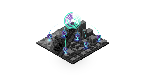
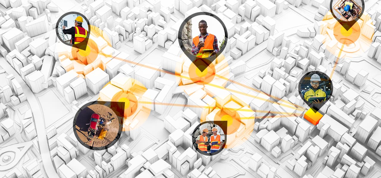
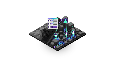
Skip to Content

Field Service Management

Coordinate operations from anywhere

Work seamlessly between office and field

Two men using surveying equipment to gather data

Build a more effective field service strategy

Field activities often involve multiple projects, many staff members, and numerous assets. Fieldworkers can use mobile apps, smart maps, and dashboards to see the real-time status and location of projects and staff. This digitally transformed approach saves money and time by eliminating duplicated efforts and wasted resources and keeping data current.

See the connections others can’t

Smart maps and dashboards illuminate critical field operations, empower on-the-fly improvements, and reveal deeper insights about projects and resources.

  • Ensure field and office staff are using the same authoritative data.
  • Use real-time dashboards to inform decisions and evaluate key performance indicator (KPI) metrics.
  • Improve sustainability metrics by reducing or replacing reliance on paper.
  • Add the power of mobile apps for critical functions such as data collection and route optimization.
3D digital map of a city shows areas where work is being coordinated outside the office

Capabilities

Transform workflows, reduce errors, boost productivity, and save money with location intelligence technology from the Esri Geospatial Cloud.

Previous
Next

Contact us

Chat now

Begin a conversation online.

Start chat

Give us a call

Talk over the phone.

+250-788-381-900
(Rwanda)
Rwanda-Burundi-Congo