Real-Time Visualization and Analytics
Know where assets are across your organization and monitor changing situations. Use big data and Internet of Things (IoT) technology to make quick, informed decisions based on the most up-to-date information.
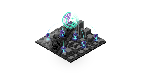
Know where assets are at all times
Get a real-time view of people, vehicles, and sensor feeds
Monitor operations, resources, and assets—from field crews to vehicle fleets—using live maps, apps, and dashboards.
Track assets and visualize, analyze, and understand huge volumes of data in real time with location intelligence technology from the Esri Geospatial Cloud.
Know where assets are across your organization and monitor changing situations. Use big data and Internet of Things (IoT) technology to make quick, informed decisions based on the most up-to-date information.
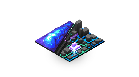
Use location as the connective thread to uncover hidden patterns and trends. Create a competitive edge by integrating location into machine learning models and artificial intelligence.
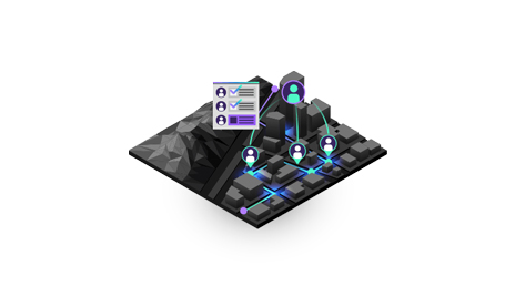
Gain perspective on real-time field activities and use visually rich dashboards to inform decisions. See what can be accomplished through capturing accurate data and working in unison, easily navigating data and roads—even while offline.
Begin a conversation online.
Talk over the phone.