
ArcGIS Apps
A collection of integrated, location-based apps, that work wherever you do.
See what ArcGIS Apps are available
ArcGIS Apps get the job done through their sheer focus, geographic awareness, and readiness to work. If none of these meet your specific needs, we have tools that users can take advantage of to build their own apps.
Previous
Next
See all apps
-
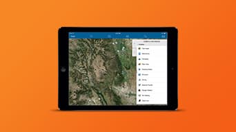
Collector for ArcGIS
Efficient, accurate data collection on smartphones or tablets replaces paper forms. Respond, record, work on- or offline, and sync automatically. -
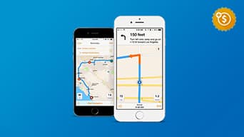
Navigator for ArcGIS
Improve workforce reliability. Navigate assets even when offline. Interact seamlessly with Collector for ArcGIS and other apps to save time. -
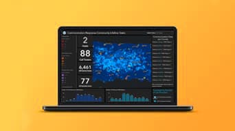
ArcGIS Dashboards
Present location-based analytics using interactive data dashboards. Add data feeds and integrate maps, charts, gauges, lists, and more. -
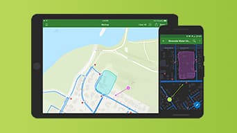
ArcGIS Explorer
Access asset data, search for places and features, or sketch on the map to highlight important aspects. Share useful maps with the public. -
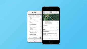
Workforce for ArcGIS
Staff and apps can work together. Sync with other apps for assignments, navigate them, and collect data in one workflow on one mobile device. -
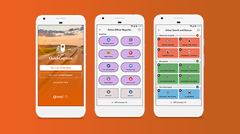
ArcGIS QuickCapture
ArcGIS QuickCapture is the fastest way to collect field observations. Record observations from a moving vehicle with the touch of a button. -
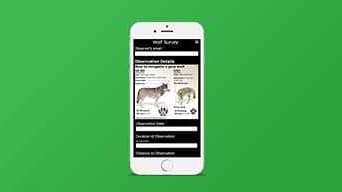
Survey123 for ArcGIS
Use a form-based survey interface in a lightweight, intuitive app. In just a few clicks you can collect, manage, and analyze survey results. -
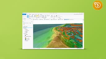
ArcGIS Pro
The latest addition to ArcGIS for Desktop. Create 2D and 3D maps. Edit and analyze data faster using a new, high-performance 64-bit architecture. -
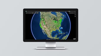
ArcGIS Earth
Visualize, edit, and share 3D data and leverage new disconnected workflows. -
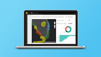
ArcGIS Maps for Power BI
Microsoft Power BI users can tap into the power of geospatial analytics, access new map themes, demographic data, and map visualizations. -
ArcGIS Maps for Office
Microsoft Excel and PowerPoint users can now ask location-related questions of their data. Make smarter decisions with new insights. -
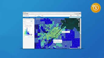
ArcGIS Business Analyst
Get location-based insight for market planning, site selection, and customer segmentation. Plus 15,000+ variables of market data. -
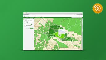
ArcGIS Community Analyst
View policy impact to prioritize community projects or place new facilities. Use global data to create what-if scenarios and comparison reports. -
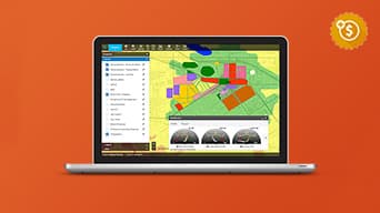
GeoPlanner for ArcGIS
Create, analyze, and report on alternative planning scenarios in support of better, more informed decision making. -
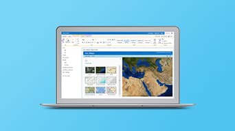
ArcGIS Maps for SharePoint
Turn lists or data into color-coded, point, clustered point, or heat maps. Enrich key business measures with demographic and Esri lifestyle data. -
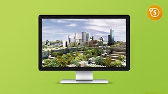
ArcGIS CityEngine
The advanced 3D city design application for creating, editing, and sharing 3D building models and massive urban environments. -
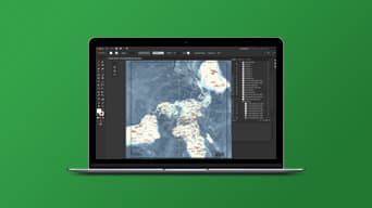
ArcGIS Maps for Adobe Creative Cloud
Design and communications professionals can choose from maps inside of Adobe’s design apps and access them as vector or raster layers. -
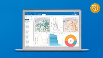
ArcGIS Insights
Interactively explore and analyze data from ArcGIS sources, Excel spreadsheets, big data and more, all in one experience. -

Drone2Map for ArcGIS
Streamline the creation of professional imagery products from drone-captured imagery for visualization and analysis in ArcGIS. -
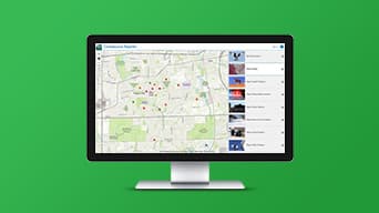
Crowdsource Reporter
Users can report problems or observations then track the status. They can comment and vote on reports or observations submitted by other users. -
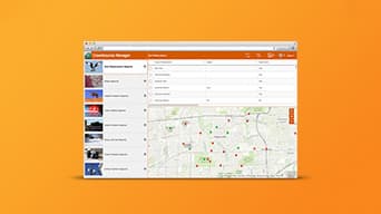
Crowdsource Manager
Review problems or observations submitted by users. Look for patterns and clusters, update status, and assign responsibility. -
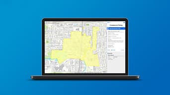
Crowdsource Polling
Solicit feedback on plans and proposals to gauge public sentiment. Users can comment, vote, and participate in open discussions. -
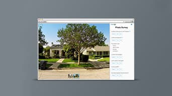
Photo Survey
Publish street-level photo collections and conduct focused property surveys to identify blight, damaged structures, or construction activity. -
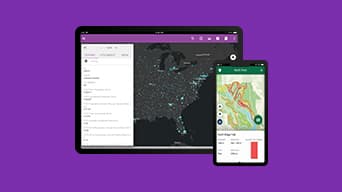
AppStudio for ArcGIS
Convert maps to apps for Android, iOS, Windows, OS X, and Linux. Publish using your brand or share internally. No developer skills required. -
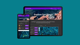
ArcGIS Experience Builder
Transform your data into compelling web experiences without writing any code. Create web apps/pages using mobile-adaptive widgets and templates. -
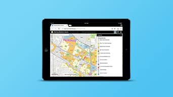
ArcGIS Web AppBuilder
Create web apps with ready-to-use widgets. Customize the look with configurable templates and themes. No coding required. -
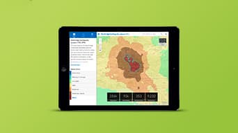
ArcGIS Configurable Apps
Choose from a comprehensive set of templates to quickly configure focused apps, for example for parcel editing or displaying social content. -
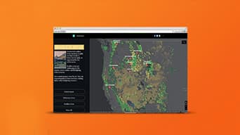
ArcGIS StoryMaps
Tell stories that inform, engage, and inspire your audience. Combine web maps with narrative text, photos, and other media. -
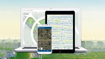
Industry-Specific Apps
Jumpstart work with pre-configured apps for your industry. Choose from hundreds of focused apps to accomplish industry-specific workflows. -
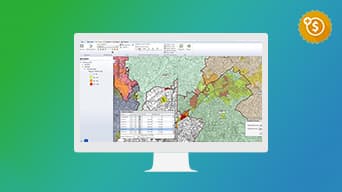
Esri Redistricting
A web-based solution for governments, advocates and citizens to create and share regulation-compliant redistricting plans. -
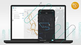
Tracker for ArcGIS
Enable field personnel to share where they are and where they have been. Efficiently allocate resources based on changing conditions in the field
Previous
Next

Premium apps
Premium app. Requires an additional purchase.