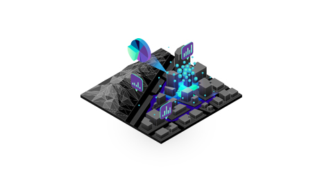
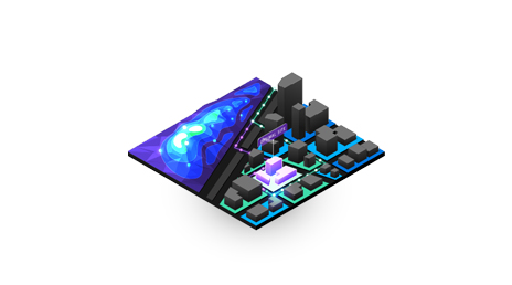
Mapping
Visualize people, places, and assets to gain a clear understanding of communities. See what's happening throughout the city, better understand community needs, and know where to allocate resources.

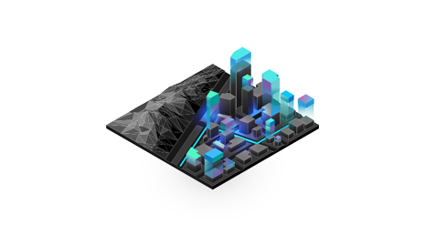
Build resilient communities
Measure and adapt to change with location intelligence
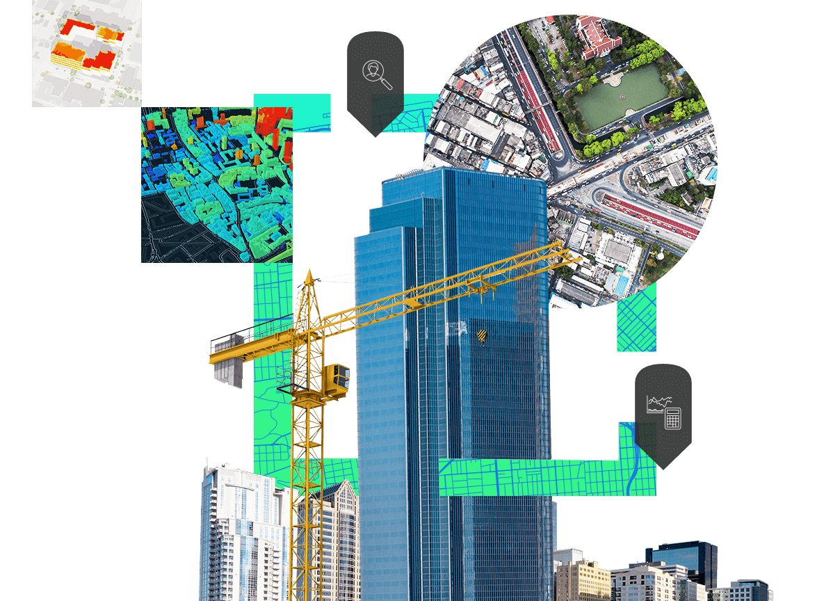
Smart maps help planners build resilient, sustainable communities with long-term economic and environmental sustainability. Location intelligence can empower critical decisions about land use, emergency preparedness, transportation, public spaces, and residential or commercial areas.
Improve planning for sustainability and resilience by using location intelligence technology from the Esri Geospatial Cloud.
Visualize people, places, and assets to gain a clear understanding of communities. See what's happening throughout the city, better understand community needs, and know where to allocate resources.
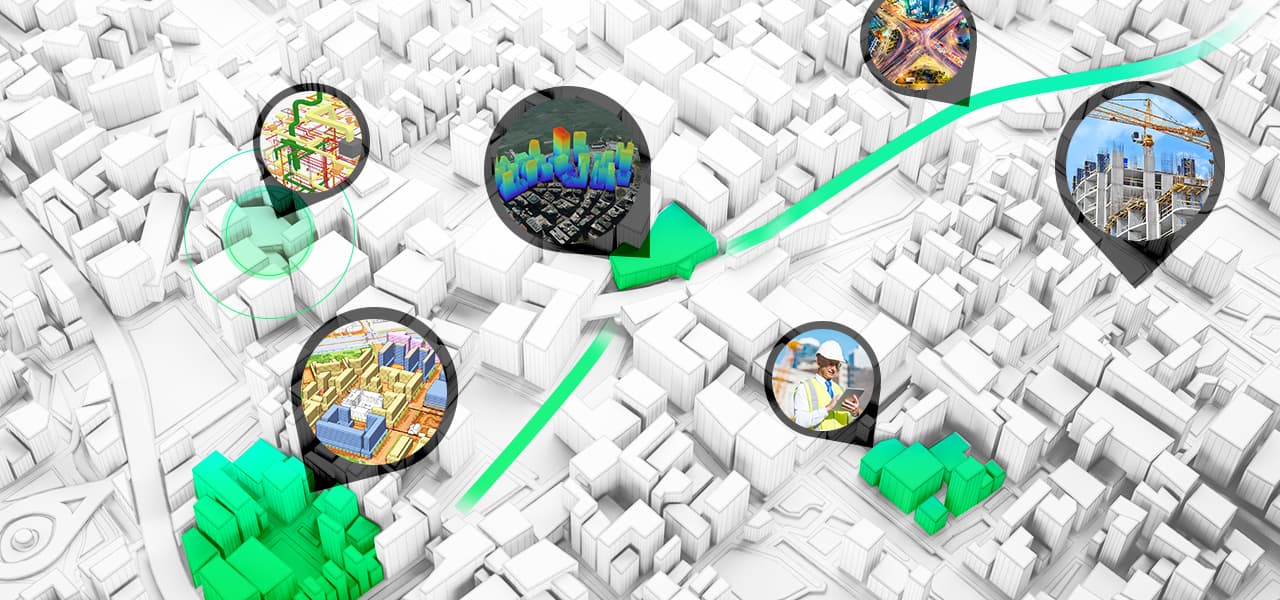
Use location as the connective thread to uncover unseen patterns and trends for enhanced sustainability planning. Get faster, more comprehensive insight by integrating location information into machine learning models and artificial intelligence.
Extract value from your data to solve problems and see patterns, trends, and hidden relationships. Enhance your data visually and share your vision easily with others.
Begin a conversation online.
Talk over the phone.