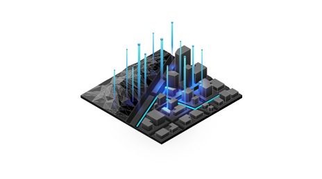
Spatial Analysis and Data Science
Use location as the connective thread to uncover hidden patterns and trends for enhanced risk assessment. Create a competitive edge by integrating location into machine learning models and artificial intelligence.
Stay ahead of uncertainty
Plan effectively and act quickly with location intelligence
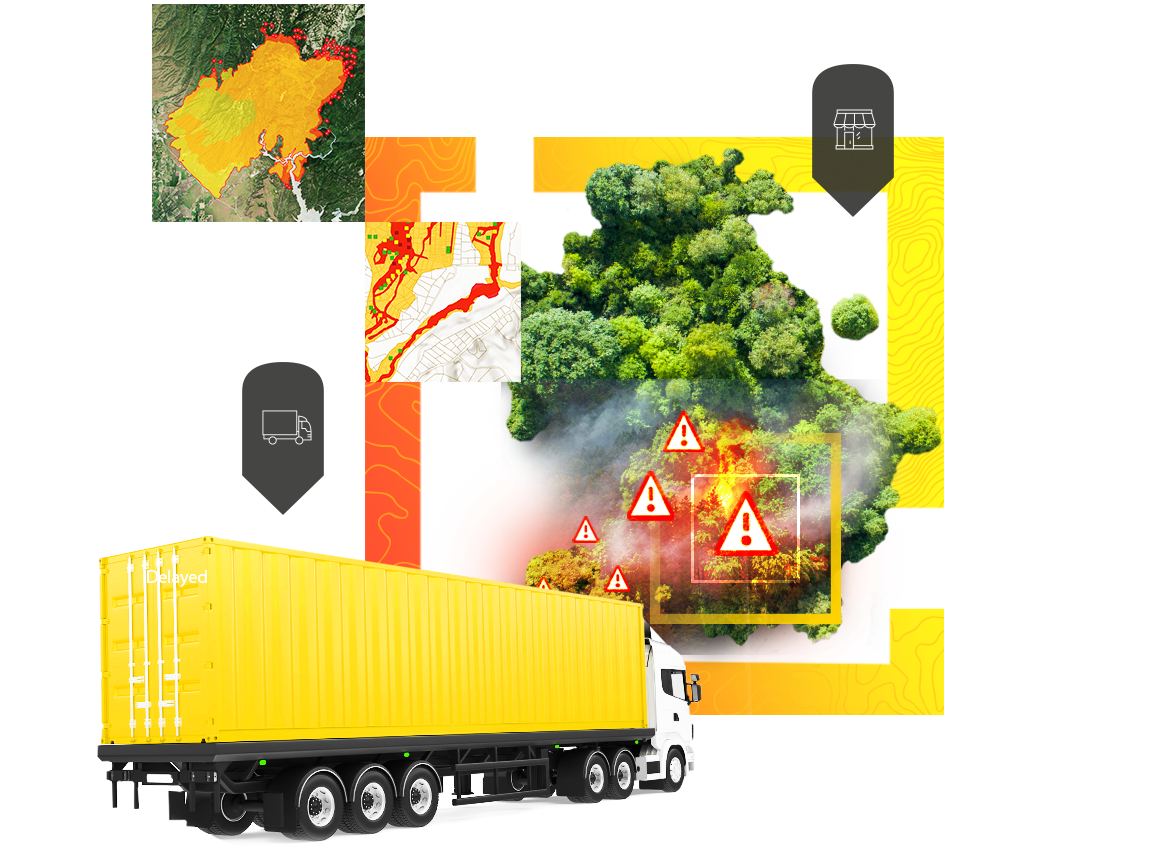
Smart maps pinpoint areas of potential risk, reveal deeper insights on how to manage risk, and provide a common view that streamlines communication during all phases of risk management.
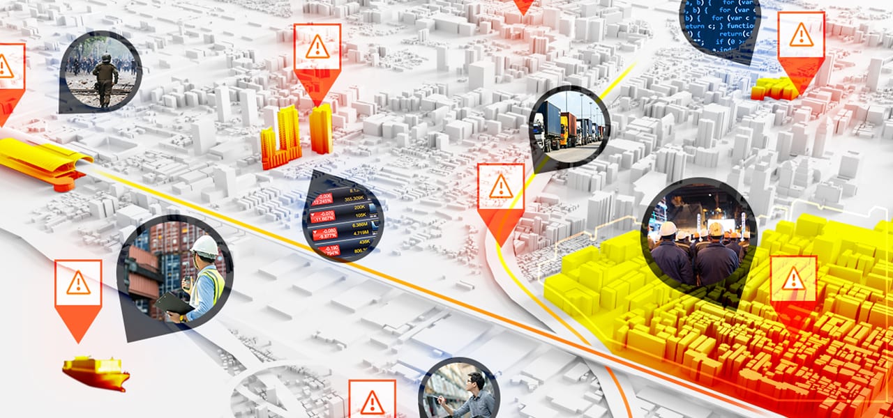
Enhance preparedness, response, and resilience using location intelligence technology from the Esri Geospatial Cloud.
Use location as the connective thread to uncover hidden patterns and trends for enhanced risk assessment. Create a competitive edge by integrating location into machine learning models and artificial intelligence.
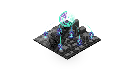
Know where vulnerabilities exist right now across your business and monitor changing situations. Use big data and Internet of Things (IoT) technology to make quick, informed decisions based on the most up-to-date information.
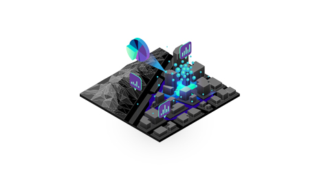
Visualize people, places, and assets to gain a clear understanding of risk. See what's happening throughout the organization, create robust risk mitigation plans, and know where to allocate resources.
Begin a conversation online.
Talk over the phone.