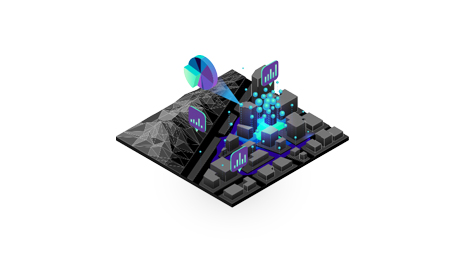
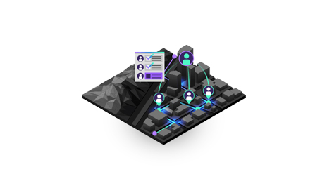
Mapping
Visualize people, places, and resources to gain a clear understanding of risk. See what's happening across the organization, create robust safety plans, and know where to allocate resources.
Protect people and communities
Prepare for and prevent incidents with location intelligence
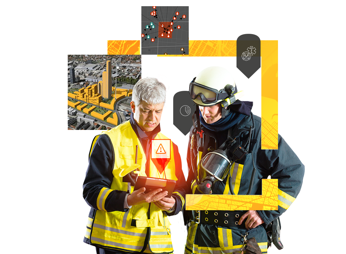
Strong situational awareness and collaboration gives you a proactive view of emerging threats and hazards that can help you respond more quickly. Improve the security for your neighborhoods, businesses, and communities with location intelligence.
Enhance threat detection, response, and protection using location intelligence technology from the Esri Geospatial Cloud.
Visualize people, places, and resources to gain a clear understanding of risk. See what's happening across the organization, create robust safety plans, and know where to allocate resources.
Gain a location-based perspective on real-time field activities and leverage visually rich dashboards to inform decisions. See what can be accomplished through working in unison and capturing and interpreting data—even while offline.
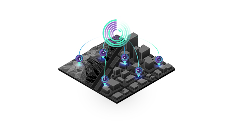
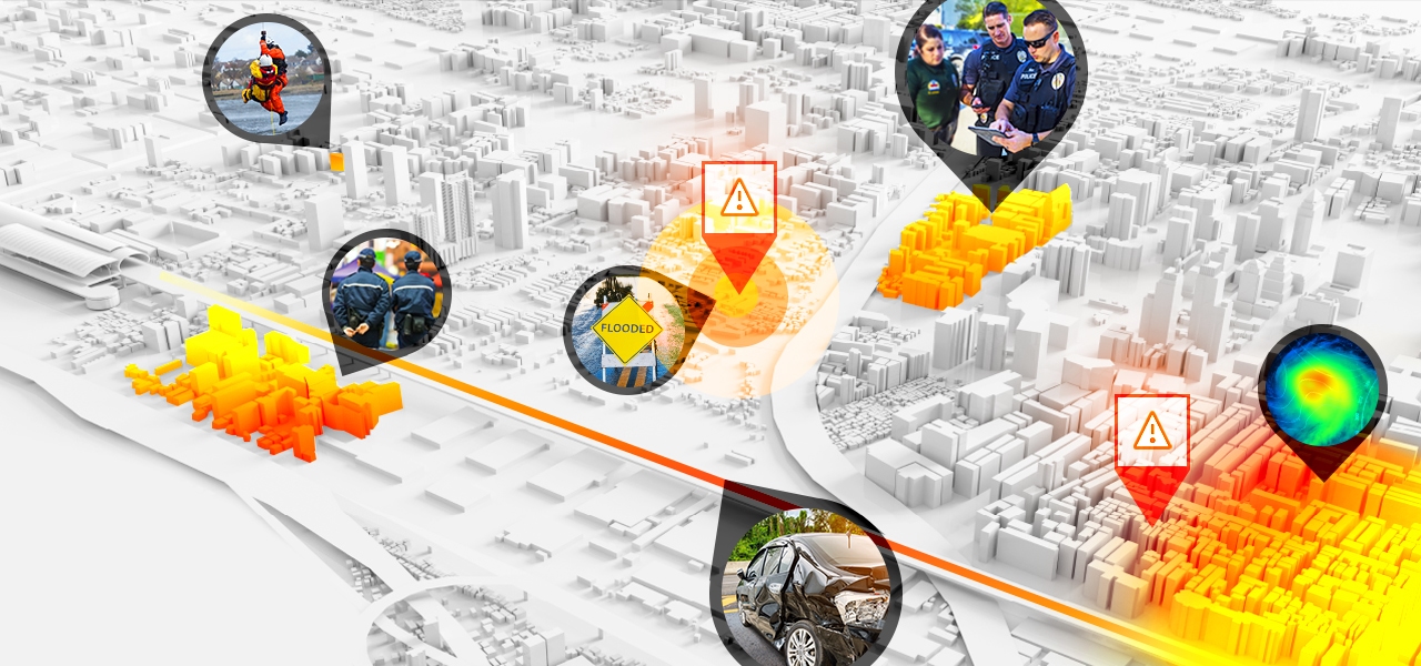
Know where dangers exist right now across your community or business and monitor changing situations. Use big data and Internet of Things (IoT) technology to make quick, informed decisions based on the most up-to-date information.
Begin a conversation online.
Talk over the phone.