
Webinar
National Government Webinar Series: Part 1
Beyond Technology: Strategies for Enterprise
Tuesday, April 14 | 10:00a.m. - 11:00a.m. (PDT)
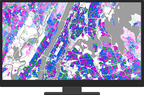
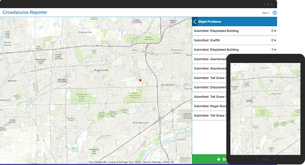
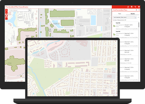
Governments collect and manage vast amounts of data—all tied to location. Maps and spatial analysis quickly make sense of it so it’s easier to use. Making data-driven decisions that improve quality of life is essential in national, state, and local governments. ArcGIS software makes it possible.

National Government Webinar Series: Part 1
Beyond Technology: Strategies for Enterprise

Leveraging ArcGIS Elevation Analysis Services
Duration: 27 Minutes | Cost: Free

National Government Webinar Series: Part 2
Field Operations and Data Collection
Training for Industry
Defense and Intelligence